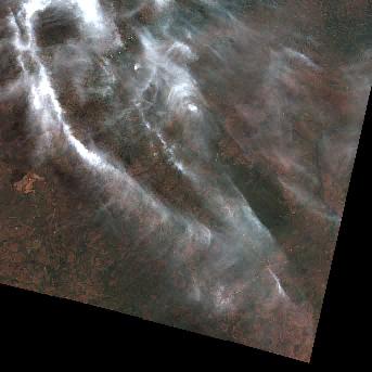
S2B_T33LXL_20200701T091034_L2A
dataset of product s2_l2a_c1
Indexed by odc_writer
,
created
Region
33LXL
for
1st July 2020


Fields 🔗
cloud_cover
58.251
collection_category
•
creation_time
2024-01-19 12:59:35
crs_raw
•
data_coverage
•
dataset_version
•
eo_gsd
•
eo_sun_azimuth
35.899
eo_sun_elevation
50.646
format
GeoTIFF
id
6dca6c75-9eef-5fae-a318-42981b357866
instrument
MSI
label
•
lat
-9.107 to -8.138
lon
15.908 to 16.905
platform
sentinel-2b
product_family
•
region
•
region_code
33LXL
rmse
•
rmse_x
•
rmse_y
•
sat_orbit_state
•
sat_relative_orbit
•
time
2020-07-01 09:22:56 to 2020-07-01 09:22:56
Location 🔗
| aot | AOT.tif |
|---|---|
| blue | B02.tif |
| cloud | CLD_20m.tif |
| coastal | B01.tif |
| granule_metadata | https://e84-earth-search-sentinel-data.s3.us-west-2.amazonaws.com/sentinel-2-c1-l2a/33/L/XL/2020/7/S2B_T33LXL_20200701T091034_L2A/metadata.xml |
| green | B03.tif |
| nir | B08.tif |
| nir08 | B8A.tif |
| nir09 | B09.tif |
| preview | L2A_PVI.tif |
| product_metadata | https://e84-earth-search-sentinel-data.s3.us-west-2.amazonaws.com/sentinel-2-c1-l2a/33/L/XL/2020/7/S2B_T33LXL_20200701T091034_L2A/product_metadata.xml |
| red | B04.tif |
| rededge1 | B05.tif |
| rededge2 | B06.tif |
| rededge3 | B07.tif |
| scl | SCL.tif |
| snow | SNW_20m.tif |
| swir16 | B11.tif |
| swir22 | B12.tif |
| thumbnail | https://e84-earth-search-sentinel-data.s3.us-west-2.amazonaws.com/sentinel-2-c1-l2a/33/L/XL/2020/7/S2B_T33LXL_20200701T091034_L2A/L2A_PVI.jpg |
| tileinfo_metadata | https://e84-earth-search-sentinel-data.s3.us-west-2.amazonaws.com/sentinel-2-c1-l2a/33/L/XL/2020/7/S2B_T33LXL_20200701T091034_L2A/tileInfo.json |
| visual | TCI.tif |
| wvp | WVP.tif |