S2A_T29NPG_20231208T105709_L2A
dataset of product s2_l2a_c1
Indexed by odc_writer
,
created
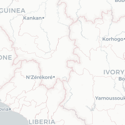
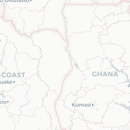
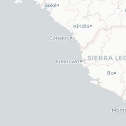
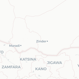
Region
29NPG
for
8th December 2023


Fields 🔗
cloud_cover
65.575
collection_category
•
creation_time
2024-01-04 23:29:07
crs_raw
•
data_coverage
•
dataset_version
•
eo_gsd
•
eo_sun_azimuth
145.432
eo_sun_elevation
55.039
format
GeoTIFF
id
248d66b2-5450-594b-8a35-f35a63376842
instrument
MSI
label
•
lat
5.337 to 6.332
lon
-7.963 to -7.103
platform
sentinel-2a
product_family
•
region
•
region_code
29NPG
rmse
•
rmse_x
•
rmse_y
•
sat_orbit_state
•
sat_relative_orbit
•
time
2023-12-08 10:59:35 to 2023-12-08 10:59:35
Location 🔗
| aot | AOT.tif |
|---|---|
| blue | B02.tif |
| cloud | CLD_20m.tif |
| coastal | B01.tif |
| granule_metadata | https://e84-earth-search-sentinel-data.s3.us-west-2.amazonaws.com/sentinel-2-c1-l2a/29/N/PG/2023/12/S2A_T29NPG_20231208T105709_L2A/metadata.xml |
| green | B03.tif |
| nir | B08.tif |
| nir08 | B8A.tif |
| nir09 | B09.tif |
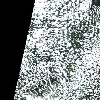
| preview | L2A_PVI.tif |
| product_metadata | https://e84-earth-search-sentinel-data.s3.us-west-2.amazonaws.com/sentinel-2-c1-l2a/29/N/PG/2023/12/S2A_T29NPG_20231208T105709_L2A/product_metadata.xml |
| red | B04.tif |
| rededge1 | B05.tif |
| rededge2 | B06.tif |
| rededge3 | B07.tif |
| scl | SCL.tif |
| snow | SNW_20m.tif |
| swir16 | B11.tif |
| swir22 | B12.tif |
| thumbnail | https://e84-earth-search-sentinel-data.s3.us-west-2.amazonaws.com/sentinel-2-c1-l2a/29/N/PG/2023/12/S2A_T29NPG_20231208T105709_L2A/L2A_PVI.jpg |
| tileinfo_metadata | https://e84-earth-search-sentinel-data.s3.us-west-2.amazonaws.com/sentinel-2-c1-l2a/29/N/PG/2023/12/S2A_T29NPG_20231208T105709_L2A/tileInfo.json |
| visual | TCI.tif |
| wvp | WVP.tif |