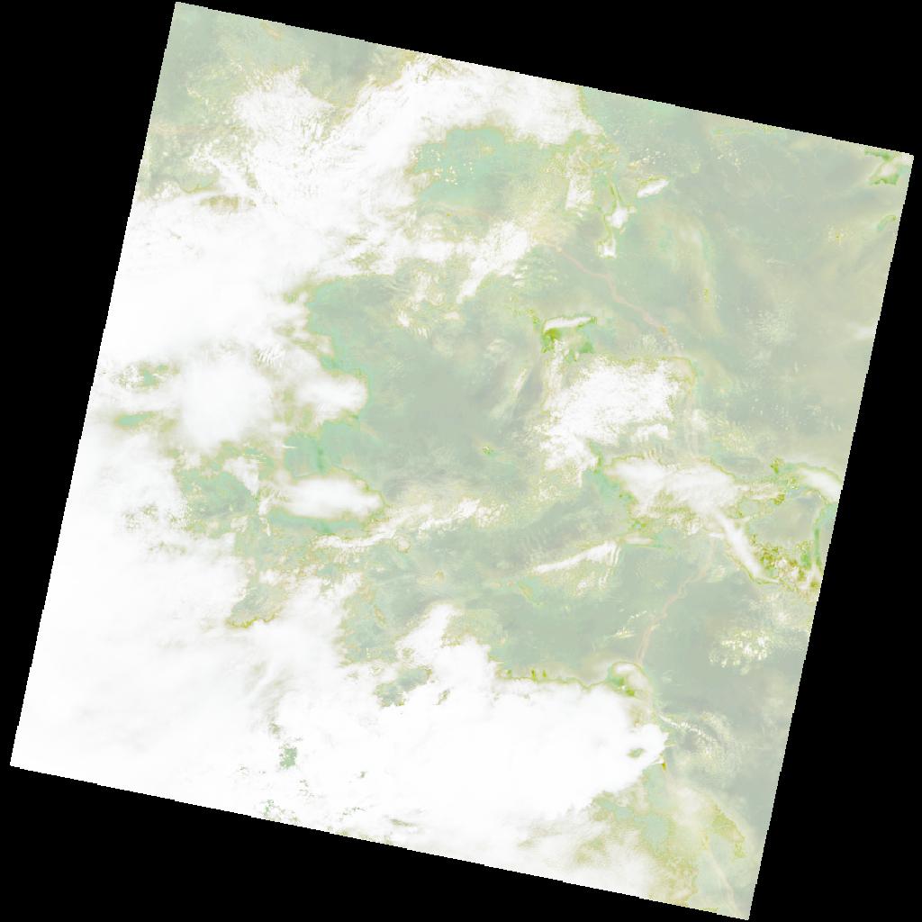
LC09_L2SP_176060_20211207_20230505_02_T1_SR_stac
dataset of product ls9_sr
Indexed by odc_writer
,
created
Region
176060
for
7th December 2021
Fields 🔗
cloud_cover
76.23
collection_category
T1
creation_time
2021-12-07 08:32:36
crs_raw
•
data_coverage
•
dataset_version
•
eo_gsd
•
eo_sun_azimuth
134.943
eo_sun_elevation
56.974
format
GeoTIFF
id
6307884e-263c-5f19-b4fe-291288ecedef
instrument
OLI_TIRS
label
•
lat
-1.048 to 1.039
lon
24.007 to 26.013
platform
LANDSAT_9
product_family
•
region
•
region_code
176060
rmse
5.817
rmse_x
4.011
rmse_y
4.214
sat_orbit_state
•
sat_relative_orbit
•
time
2021-12-07 08:32:36 to 2021-12-07 08:32:36
Related Datasets 🔗
LC09_L2SP_176060_20211207_20230505_02_T1_SR_stac