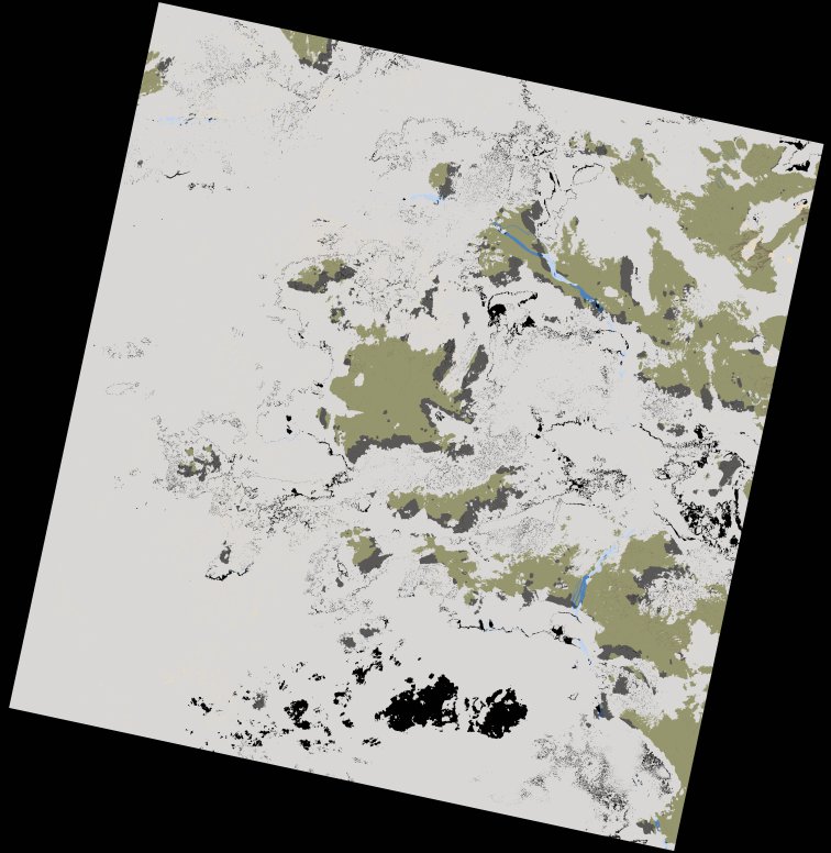
wofs_ls_176060_2021-12-07.stac-item
dataset of product wofs_ls
Indexed by odc_writer
,
created
Region
176060
for
7th December 2021
Fields 🔗
cloud_cover
76.23
collection_category
T1
creation_time
2023-05-05 14:00:49
crs_raw
•
data_coverage
•
dataset_version
1.0.0
eo_gsd
30.0
eo_sun_azimuth
134.943
eo_sun_elevation
56.974
format
GeoTIFF
id
445391c1-0451-5bfb-9e2d-b7ba80cfa827
instrument
OLI_TIRS
label
•
lat
-1.048 to 1.039
lon
24.007 to 26.013
platform
landsat-9
product_family
wofs
region
•
region_code
176060
rmse
5.817
rmse_x
4.011
rmse_y
4.214
sat_orbit_state
•
sat_relative_orbit
•
time
2021-12-07 08:32:36 to 2021-12-07 08:32:36
Related Datasets 🔗
wofs_ls_176060_2021-12-07.stac-item