Fields 🔗
cloud_cover
14.05
collection_category
T1
creation_time
2023-02-20 07:12:19
crs_raw
•
data_coverage
•
dataset_version
1.1.0
eo_gsd
30.0
eo_sun_azimuth
112.869
eo_sun_elevation
57.579
format
GeoTIFF
id
f6f7fc78-b9b6-568e-aaf9-84a07b4d30e0
instrument
OLI_TIRS
label
•
lat
-1.048 to 1.039
lon
19.357 to 21.364
platform
landsat-9
product_family
fc
region
•
region_code
179060
rmse
6.897
rmse_x
4.349
rmse_y
5.353
sat_orbit_state
•
sat_relative_orbit
•
time
2023-02-17 08:51:11 to 2023-02-17 08:51:11
Related Datasets 🔗
Location 🔗
s3://deafrica-services/fc_ls/1-1-0/179/060/2023/02/17/fc_ls_179060_2023-02-17.stac-item.json
| bs | fc_ls_179060_2023-02-17_bs.tif |
|---|---|
| checksum:sha1 | fc_ls_179060_2023-02-17.sha1 |
| metadata:processor | fc_ls_179060_2023-02-17.proc-info.yaml |
| npv | fc_ls_179060_2023-02-17_npv.tif |
| pv | fc_ls_179060_2023-02-17_pv.tif |
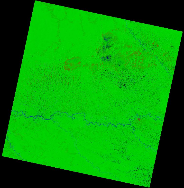
| thumbnail | fc_ls_179060_2023-02-17_thumbnail.jpg |
| ue | fc_ls_179060_2023-02-17_ue.tif |