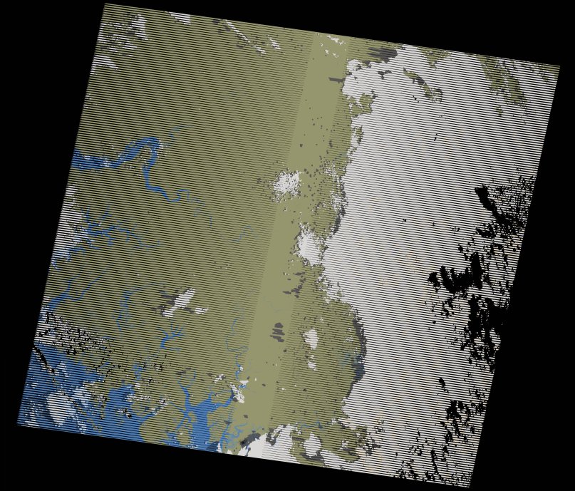
wofs_ls_203052_2023-10-01.stac-item
dataset of product wofs_ls
Indexed by odc_writer
,
created
Region
203052
for
1st October 2023
Fields 🔗
cloud_cover
34.0
collection_category
T1
creation_time
2024-02-26 04:58:42
crs_raw
•
data_coverage
•
dataset_version
1.0.0
eo_gsd
30.0
eo_sun_azimuth
100.827
eo_sun_elevation
30.892
format
GeoTIFF
id
f5d3f428-a22e-5e09-ab69-28f35fbb6f09
instrument
ETM
label
•
lat
10.652 to 12.509
lon
-15.543 to -13.447
platform
landsat-7
product_family
wofs
region
•
region_code
203052
rmse
9.68
rmse_x
3.762
rmse_y
8.919
sat_orbit_state
•
sat_relative_orbit
•
time
2023-10-01 08:57:29 to 2023-10-01 08:57:29
Related Datasets 🔗
wofs_ls_203052_2023-10-01.stac-item