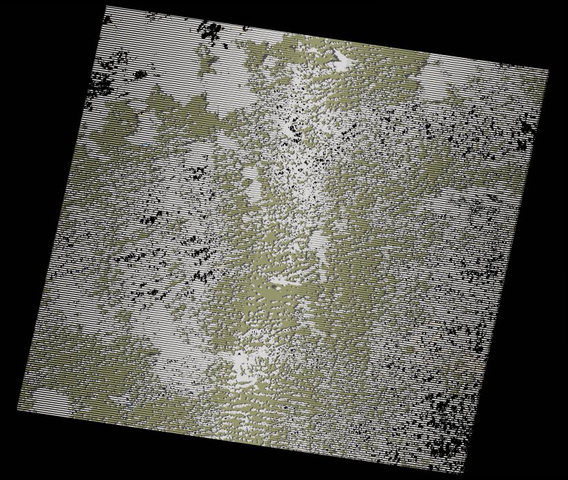
wofs_ls_172069_2019-12-06.stac-item
dataset of product wofs_ls
Indexed by odc_writer
,
created
Region
172069
for
6th December 2019
Fields 🔗
cloud_cover
45.0
collection_category
T1
creation_time
2021-09-01 02:26:21
crs_raw
•
data_coverage
•
dataset_version
1.0.0
eo_gsd
30.0
eo_sun_azimuth
112.18
eo_sun_elevation
59.123
format
GeoTIFF
id
f448463f-16dd-5b02-a156-d1f5d21f2d78
instrument
ETM
label
•
lat
-13.946 to -12.076
lon
27.37 to 29.5
platform
landsat-7
product_family
wofs
region
•
region_code
172069
rmse
5.441
rmse_x
4.481
rmse_y
3.087
sat_orbit_state
•
sat_relative_orbit
•
time
2019-12-06 07:53:18 to 2019-12-06 07:53:18
Related Datasets 🔗
wofs_ls_172069_2019-12-06.stac-item