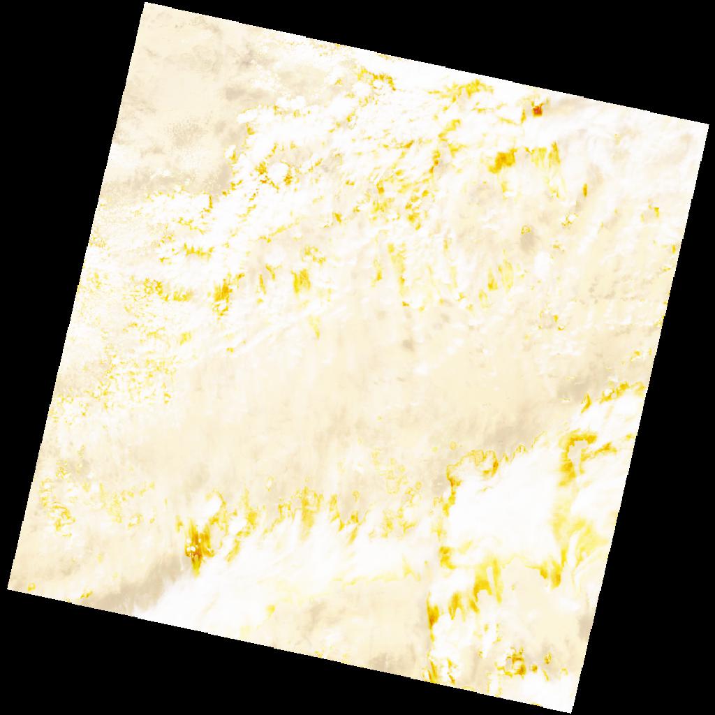
LC09_L2SP_190045_20211120_20230506_02_T1_SR_stac
dataset of product ls9_sr
Indexed by odc_writer
,
created
Region
190045
for
20th November 2021
Fields 🔗
cloud_cover
32.6
collection_category
T1
creation_time
2021-11-20 09:53:40
crs_raw
•
data_coverage
•
dataset_version
•
eo_gsd
•
eo_sun_azimuth
153.3
eo_sun_elevation
44.156
format
GeoTIFF
id
f1fe0358-48ab-5627-8c11-9288609c7b4a
instrument
OLI_TIRS
label
•
lat
20.619 to 22.712
lon
6.891 to 9.032
platform
LANDSAT_9
product_family
•
region
•
region_code
190045
rmse
6.944
rmse_x
5.377
rmse_y
4.394
sat_orbit_state
•
sat_relative_orbit
•
time
2021-11-20 09:53:40 to 2021-11-20 09:53:40
Related Datasets 🔗
LC09_L2SP_190045_20211120_20230506_02_T1_SR_stac