Fields 🔗
cloud_cover
8.0
collection_category
T1
creation_time
2022-01-21 02:15:09
crs_raw
•
data_coverage
•
dataset_version
1.1.0
eo_gsd
30.0
eo_sun_azimuth
154.317
eo_sun_elevation
34.596
format
GeoTIFF
id
ed3c4107-4317-5847-bb27-00fb991308f4
instrument
ETM
label
•
lat
27.917 to 29.821
lon
13.407 to 15.696
platform
landsat-7
product_family
fc
region
•
region_code
187040
rmse
4.248
rmse_x
3.123
rmse_y
2.88
sat_orbit_state
•
sat_relative_orbit
•
time
2003-12-03 09:20:54 to 2003-12-03 09:20:54
Related Datasets 🔗
Location 🔗
s3://deafrica-services/fc_ls/1-1-0/187/040/2003/12/03/fc_ls_187040_2003-12-03.stac-item.json
| bs | fc_ls_187040_2003-12-03_bs.tif |
|---|---|
| checksum:sha1 | fc_ls_187040_2003-12-03.sha1 |
| metadata:processor | fc_ls_187040_2003-12-03.proc-info.yaml |
| npv | fc_ls_187040_2003-12-03_npv.tif |
| pv | fc_ls_187040_2003-12-03_pv.tif |
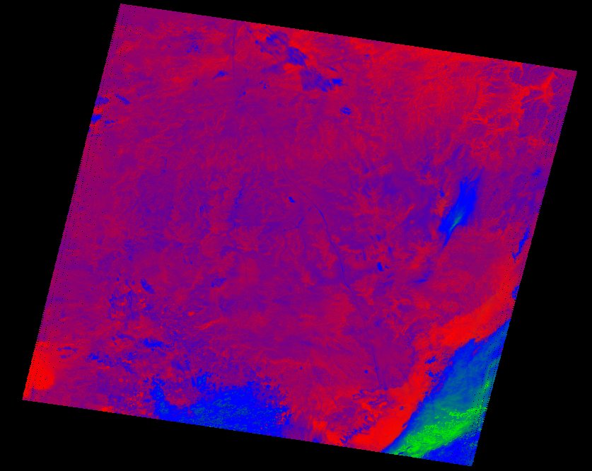
| thumbnail | fc_ls_187040_2003-12-03_thumbnail.jpg |
| ue | fc_ls_187040_2003-12-03_ue.tif |