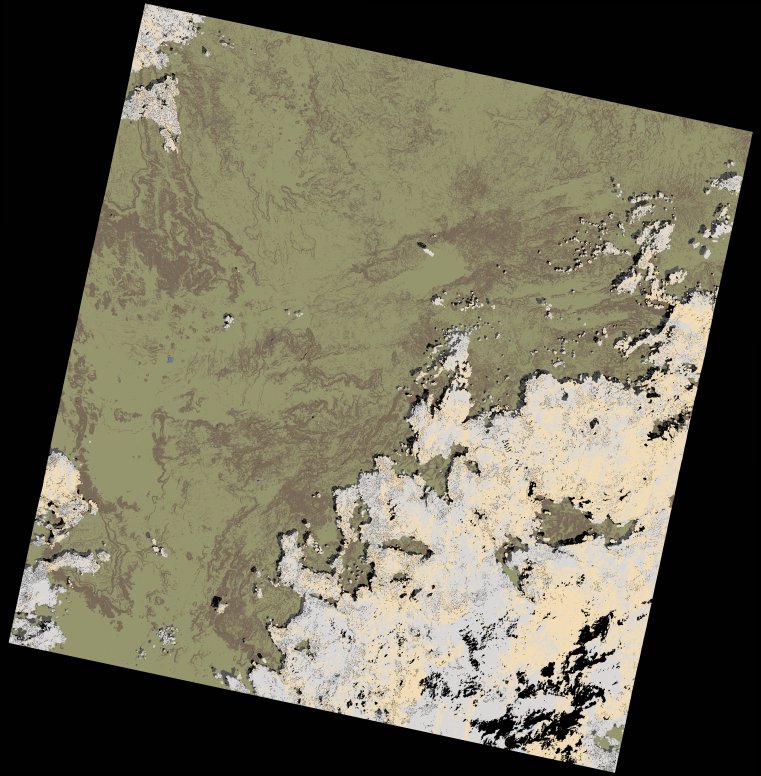
wofs_ls_170055_2024-01-20.stac-item
dataset of product wofs_ls
Indexed by odc_writer
,
created
Region
170055
for
20th January 2024
Fields 🔗
cloud_cover
28.09
collection_category
T1
creation_time
2024-02-23 05:39:38
crs_raw
•
data_coverage
•
dataset_version
1.0.0
eo_gsd
30.0
eo_sun_azimuth
134.898
eo_sun_elevation
50.765
format
GeoTIFF
id
ecbe21d0-c2b2-5e3e-b526-1aef92e2fa89
instrument
OLI_TIRS
label
•
lat
6.183 to 8.27
lon
34.827 to 36.847
platform
landsat-9
product_family
wofs
region
•
region_code
170055
rmse
5.707
rmse_x
3.909
rmse_y
4.158
sat_orbit_state
•
sat_relative_orbit
•
time
2024-01-20 07:53:24 to 2024-01-20 07:53:24
Related Datasets 🔗
wofs_ls_170055_2024-01-20.stac-item