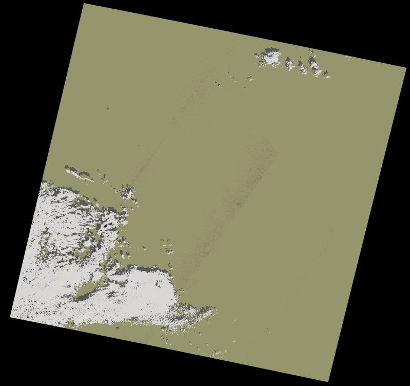
wofs_ls_202043_2021-11-12.stac-item
dataset of product wofs_ls
Indexed by odc_writer
,
created
Region
202043
for
12th November 2021
Fields 🔗
cloud_cover
8.49
collection_category
T1
creation_time
2023-05-06 16:01:04
crs_raw
•
data_coverage
•
dataset_version
1.0.0
eo_gsd
30.0
eo_sun_azimuth
154.322
eo_sun_elevation
43.673
format
GeoTIFF
id
ea19286d-9f75-5fc2-b5d3-a2db8fb90733
instrument
OLI_TIRS
label
•
lat
23.5 to 25.594
lon
-11.239 to -9.044
platform
landsat-9
product_family
wofs
region
•
region_code
202043
rmse
3.199
rmse_x
2.193
rmse_y
2.329
sat_orbit_state
•
sat_relative_orbit
•
time
2021-11-12 11:07:52 to 2021-11-12 11:07:52
Related Datasets 🔗
wofs_ls_202043_2021-11-12.stac-item