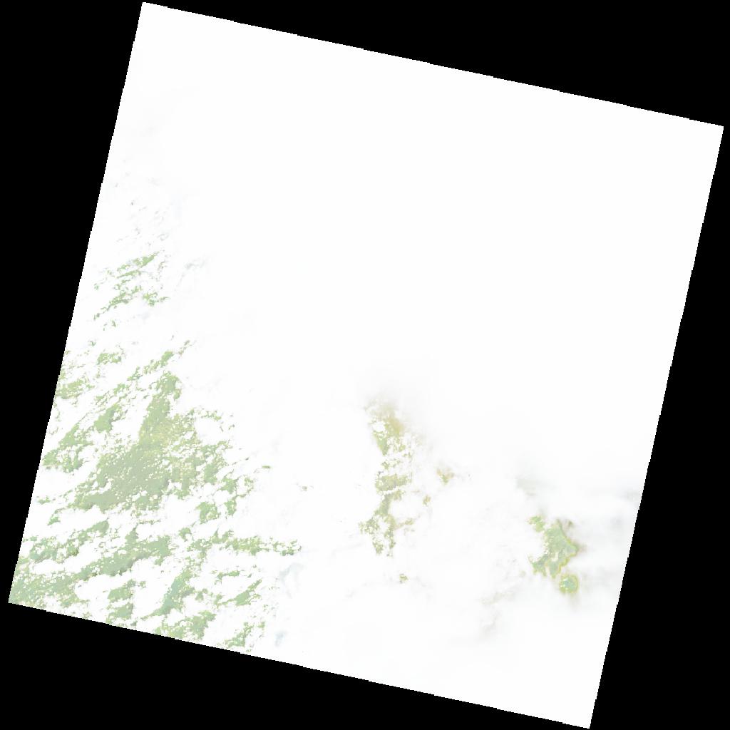
LC09_L2SP_172065_20221128_20221130_02_T2_SR_stac
dataset of product ls9_sr
Indexed by odc_writer
,
created
Region
172065
for
28th November 2022
Fields 🔗
cloud_cover
92.96
collection_category
T2
creation_time
2022-11-28 08:09:55
crs_raw
•
data_coverage
•
dataset_version
•
eo_gsd
•
eo_sun_azimuth
123.036
eo_sun_elevation
62.203
format
GeoTIFF
id
ddd73d4b-e06c-56c4-9cda-7d957c837a18
instrument
OLI_TIRS
label
•
lat
-8.278 to -6.191
lon
28.66 to 30.685
platform
LANDSAT_9
product_family
•
region
•
region_code
172065
rmse
nan
rmse_x
nan
rmse_y
nan
sat_orbit_state
•
sat_relative_orbit
•
time
2022-11-28 08:09:55 to 2022-11-28 08:09:55
Related Datasets 🔗
LC09_L2SP_172065_20221128_20221130_02_T2_SR_stac