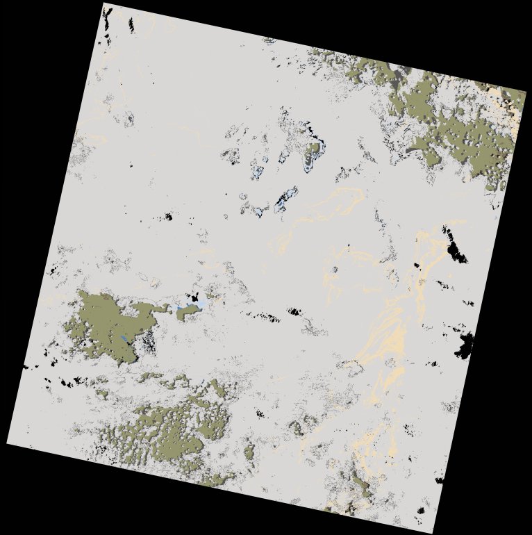
wofs_ls_170067_2024-01-20.stac-item
dataset of product wofs_ls
Indexed by odc_writer
,
created
Region
170067
for
20th January 2024
Fields 🔗
cloud_cover
89.07
collection_category
T1
creation_time
2024-02-23 05:45:05
crs_raw
•
data_coverage
•
dataset_version
1.0.0
eo_gsd
30.0
eo_sun_azimuth
112.329
eo_sun_elevation
58.472
format
GeoTIFF
id
d9f8aae0-0042-56df-bf35-3725e1617d8a
instrument
OLI_TIRS
label
•
lat
-11.169 to -9.082
lon
31.108 to 33.151
platform
landsat-9
product_family
wofs
region
•
region_code
170067
rmse
8.654
rmse_x
5.681
rmse_y
6.528
sat_orbit_state
•
sat_relative_orbit
•
time
2024-01-20 07:58:11 to 2024-01-20 07:58:11
Related Datasets 🔗
wofs_ls_170067_2024-01-20.stac-item