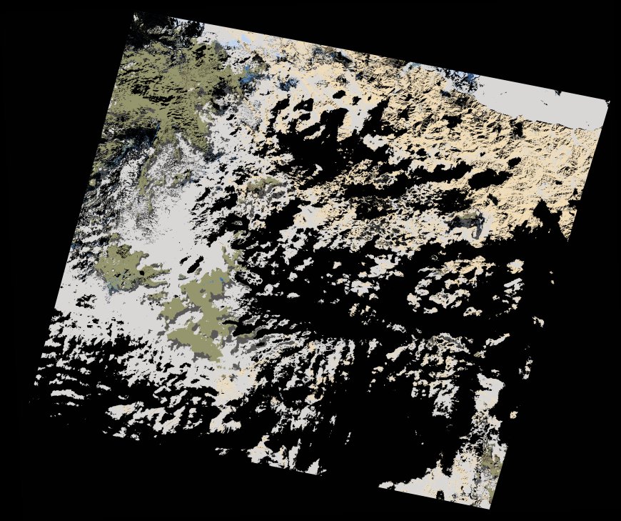
wofs_ls_201036_2021-12-22.stac-item
dataset of product wofs_ls
Indexed by odc_writer
,
created
Region
201036
for
22nd December 2021
Fields 🔗
cloud_cover
69.13
collection_category
T2
creation_time
2022-03-01 15:56:06
crs_raw
•
data_coverage
•
dataset_version
1.0.0
eo_gsd
30.0
eo_sun_azimuth
158.181
eo_sun_elevation
28.68
format
GeoTIFF
id
d942acab-35af-5f78-a4a7-02317237a241
instrument
OLI_TIRS
label
•
lat
33.552 to 35.655
lon
-6.748 to -4.279
platform
landsat-9
product_family
wofs
region
•
region_code
201036
rmse
nan
rmse_x
nan
rmse_y
nan
sat_orbit_state
•
sat_relative_orbit
•
time
2021-12-22 10:57:27 to 2021-12-22 10:57:27
Related Datasets 🔗
wofs_ls_201036_2021-12-22.stac-item