Fields 🔗
cloud_cover
96.0
collection_category
T1
creation_time
2022-01-19 09:55:49
crs_raw
•
data_coverage
•
dataset_version
1.1.0
eo_gsd
30.0
eo_sun_azimuth
122.014
eo_sun_elevation
42.276
format
GeoTIFF
id
d22033de-4c32-5329-a207-604ff341f41e
instrument
ETM
label
•
lat
-0.927 to 0.937
lon
19.374 to 21.449
platform
landsat-7
product_family
fc
region
•
region_code
179060
rmse
3.823
rmse_x
2.805
rmse_y
2.598
sat_orbit_state
•
sat_relative_orbit
•
time
2021-12-12 07:40:04 to 2021-12-12 07:40:04
Related Datasets 🔗
Location 🔗
s3://deafrica-services/fc_ls/1-1-0/179/060/2021/12/12/fc_ls_179060_2021-12-12.stac-item.json
| bs | fc_ls_179060_2021-12-12_bs.tif |
|---|---|
| checksum:sha1 | fc_ls_179060_2021-12-12.sha1 |
| metadata:processor | fc_ls_179060_2021-12-12.proc-info.yaml |
| npv | fc_ls_179060_2021-12-12_npv.tif |
| pv | fc_ls_179060_2021-12-12_pv.tif |
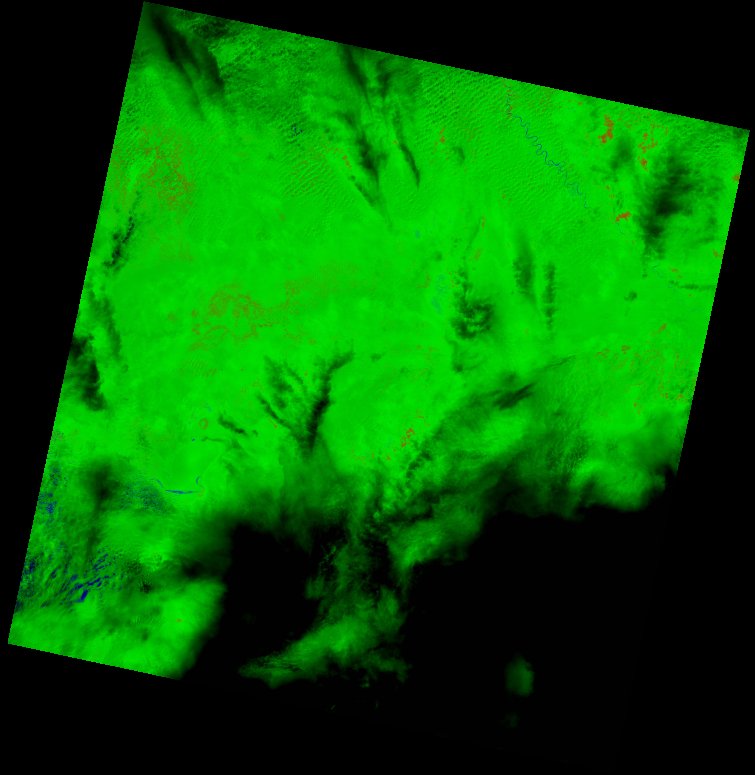
| thumbnail | fc_ls_179060_2021-12-12_thumbnail.jpg |
| ue | fc_ls_179060_2021-12-12_ue.tif |