Fields 🔗
cloud_cover
2.7
collection_category
T1
creation_time
2022-09-13 11:16:33
crs_raw
•
data_coverage
•
dataset_version
1.1.0
eo_gsd
30.0
eo_sun_azimuth
126.498
eo_sun_elevation
61.565
format
GeoTIFF
id
d1cf49a2-a666-50d1-ab73-69524e95903c
instrument
OLI_TIRS
label
•
lat
22.06 to 24.153
lon
-0.304 to 1.887
platform
landsat-9
product_family
fc
region
•
region_code
195044
rmse
8.787
rmse_x
6.326
rmse_y
6.099
sat_orbit_state
•
sat_relative_orbit
•
time
2022-09-10 10:23:30 to 2022-09-10 10:23:30
Related Datasets 🔗
Location 🔗
s3://deafrica-services/fc_ls/1-1-0/195/044/2022/09/10/fc_ls_195044_2022-09-10.stac-item.json
| bs | fc_ls_195044_2022-09-10_bs.tif |
|---|---|
| checksum:sha1 | fc_ls_195044_2022-09-10.sha1 |
| metadata:processor | fc_ls_195044_2022-09-10.proc-info.yaml |
| npv | fc_ls_195044_2022-09-10_npv.tif |
| pv | fc_ls_195044_2022-09-10_pv.tif |
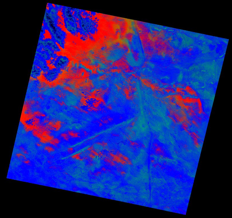
| thumbnail | fc_ls_195044_2022-09-10_thumbnail.jpg |
| ue | fc_ls_195044_2022-09-10_ue.tif |