Fields 🔗
cloud_cover
2.5
collection_category
T1
creation_time
2022-11-24 06:41:36
crs_raw
•
data_coverage
•
dataset_version
1.1.0
eo_gsd
30.0
eo_sun_azimuth
140.154
eo_sun_elevation
55.92
format
GeoTIFF
id
d12acc9a-5a1f-5e42-b8a7-5552133edc4d
instrument
OLI_TIRS
label
•
lat
4.737 to 6.825
lon
22.162 to 24.177
platform
landsat-9
product_family
fc
region
•
region_code
178056
rmse
4.365
rmse_x
2.972
rmse_y
3.197
sat_orbit_state
•
sat_relative_orbit
•
time
2022-11-22 08:43:27 to 2022-11-22 08:43:27
Related Datasets 🔗
Location 🔗
s3://deafrica-services/fc_ls/1-1-0/178/056/2022/11/22/fc_ls_178056_2022-11-22.stac-item.json
| bs | fc_ls_178056_2022-11-22_bs.tif |
|---|---|
| checksum:sha1 | fc_ls_178056_2022-11-22.sha1 |
| metadata:processor | fc_ls_178056_2022-11-22.proc-info.yaml |
| npv | fc_ls_178056_2022-11-22_npv.tif |
| pv | fc_ls_178056_2022-11-22_pv.tif |
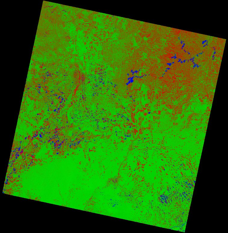
| thumbnail | fc_ls_178056_2022-11-22_thumbnail.jpg |
| ue | fc_ls_178056_2022-11-22_ue.tif |