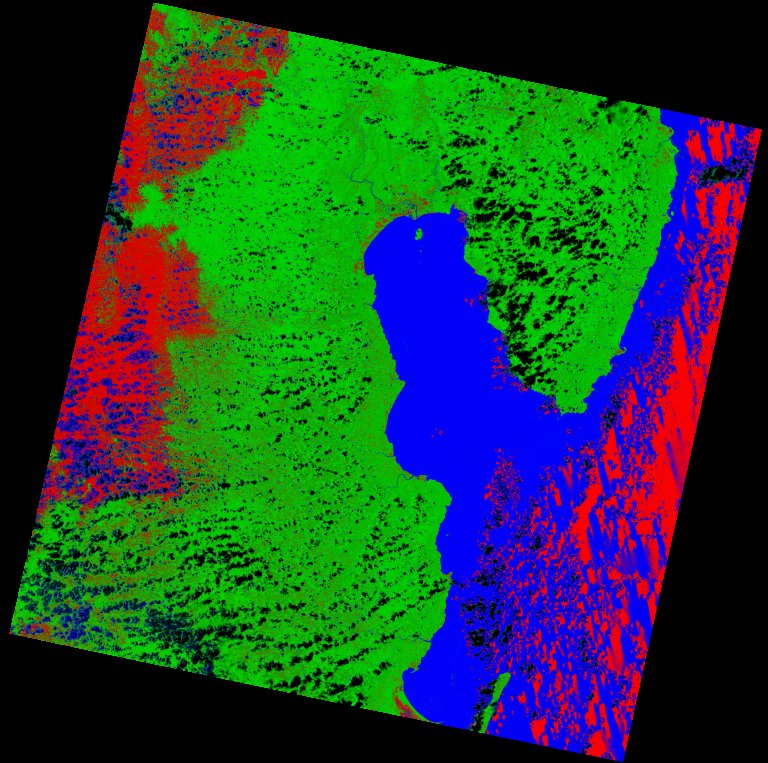
Fields 🔗
cloud_cover
34.08
collection_category
T1
creation_time
2022-02-15 00:33:38
crs_raw
•
data_coverage
•
dataset_version
1.1.0
eo_gsd
30.0
eo_sun_azimuth
99.949
eo_sun_elevation
65.605
format
GeoTIFF
id
ccce4c41-7392-5fce-9484-22e6ab34c60f
instrument
OLI_TIRS
label
•
lat
-16.949 to -14.859
lon
48.639 to 50.712
platform
landsat-9
product_family
fc
region
•
region_code
158071
rmse
7.704
rmse_x
4.879
rmse_y
5.962
sat_orbit_state
•
sat_relative_orbit
•
time
2021-11-15 06:44:13 to 2021-11-15 06:44:13
Related Datasets 🔗
Location 🔗
s3://deafrica-services/fc_ls/1-1-0/158/071/2021/11/15/fc_ls_158071_2021-11-15.stac-item.json
| bs | fc_ls_158071_2021-11-15_bs.tif |
|---|---|
| checksum:sha1 | fc_ls_158071_2021-11-15.sha1 |
| metadata:processor | fc_ls_158071_2021-11-15.proc-info.yaml |
| npv | fc_ls_158071_2021-11-15_npv.tif |
| pv | fc_ls_158071_2021-11-15_pv.tif |
| thumbnail | fc_ls_158071_2021-11-15_thumbnail.jpg |
| ue | fc_ls_158071_2021-11-15_ue.tif |