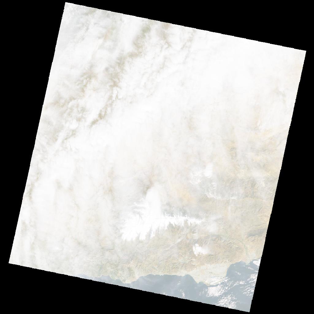
LE07_L2SP_200034_20010122_20211214_02_T1_SR_stac
dataset of product ls7_sr
Indexed by odc_writer
,
created
Region
200034
for
22nd January 2001
Fields 🔗
cloud_cover
71.0
collection_category
T1
creation_time
2001-01-22 10:40:43
crs_raw
•
data_coverage
•
dataset_version
•
eo_gsd
•
eo_sun_azimuth
152.221
eo_sun_elevation
27.925
format
GeoTIFF
id
ca304add-a21a-52ca-9982-180636410d40
instrument
ETM
label
•
lat
36.516 to 38.43
lon
-4.452 to -1.91
platform
LANDSAT_7
product_family
•
region
•
region_code
200034
rmse
4.959
rmse_x
3.272
rmse_y
3.726
sat_orbit_state
•
sat_relative_orbit
•
time
2001-01-22 10:40:43 to 2001-01-22 10:40:43
Related Datasets 🔗
LE07_L2SP_200034_20010122_20211214_02_T1_SR_stac