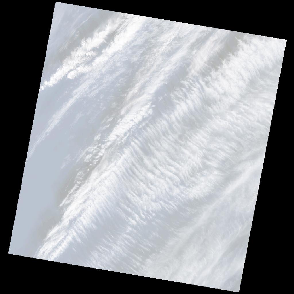
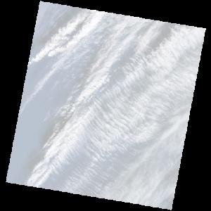
LE07_L2SP_186037_20030110_20200916_02_T2_SR_stac
dataset of product ls7_sr
Indexed by odc_writer
,
created
Region
186037
for
10th January 2003
Fields 🔗
cloud_cover
50.0
collection_category
T2
creation_time
2003-01-10 09:13:13
crs_raw
•
data_coverage
•
dataset_version
•
eo_gsd
•
eo_sun_azimuth
151.886
eo_sun_elevation
29.409
format
GeoTIFF
id
ca049bf5-e0b3-54de-a2c1-71cc01dffb7c
instrument
ETM
label
•
lat
32.223 to 34.132
lon
16.074 to 18.477
platform
LANDSAT_7
product_family
•
region
•
region_code
186037
rmse
nan
rmse_x
nan
rmse_y
nan
sat_orbit_state
•
sat_relative_orbit
•
time
2003-01-10 09:13:13 to 2003-01-10 09:13:13
Related Datasets 🔗
LE07_L2SP_186037_20030110_20200916_02_T2_SR_stac