Fields 🔗
cloud_cover
0.0
collection_category
T1
creation_time
2022-01-19 21:19:40
crs_raw
•
data_coverage
•
dataset_version
1.1.0
eo_gsd
30.0
eo_sun_azimuth
154.78
eo_sun_elevation
30.417
format
GeoTIFF
id
c8afd88d-cafd-5bc5-a81c-32c39e9b8a07
instrument
ETM
label
•
lat
30.792 to 32.687
lon
3.316 to 5.673
platform
landsat-7
product_family
fc
region
•
region_code
194038
rmse
4.766
rmse_x
3.392
rmse_y
3.348
sat_orbit_state
•
sat_relative_orbit
•
time
1999-12-25 10:07:33 to 1999-12-25 10:07:33
Related Datasets 🔗
Location 🔗
s3://deafrica-services/fc_ls/1-1-0/194/038/1999/12/25/fc_ls_194038_1999-12-25.stac-item.json
| bs | fc_ls_194038_1999-12-25_bs.tif |
|---|---|
| checksum:sha1 | fc_ls_194038_1999-12-25.sha1 |
| metadata:processor | fc_ls_194038_1999-12-25.proc-info.yaml |
| npv | fc_ls_194038_1999-12-25_npv.tif |
| pv | fc_ls_194038_1999-12-25_pv.tif |
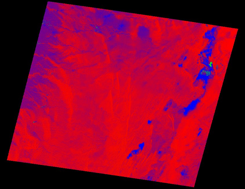
| thumbnail | fc_ls_194038_1999-12-25_thumbnail.jpg |
| ue | fc_ls_194038_1999-12-25_ue.tif |