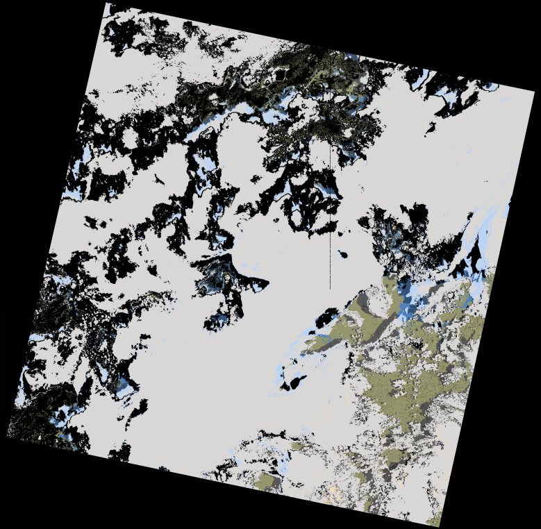
wofs_ls_161071_2024-01-21.stac-item
dataset of product wofs_ls
Indexed by odc_writer
,
created
Region
161071
for
21st January 2024
Fields 🔗
cloud_cover
79.54
collection_category
T1
creation_time
2024-02-23 05:33:30
crs_raw
•
data_coverage
•
dataset_version
1.0.0
eo_gsd
30.0
eo_sun_azimuth
102.517
eo_sun_elevation
59.357
format
GeoTIFF
id
c5b95e68-d66c-5f2b-bb9a-a4159c2fddf5
instrument
OLI_TIRS
label
•
lat
-16.948 to -14.859
lon
43.713 to 45.814
platform
landsat-9
product_family
wofs
region
•
region_code
161071
rmse
8.174
rmse_x
5.461
rmse_y
6.083
sat_orbit_state
•
sat_relative_orbit
•
time
2024-01-21 07:04:09 to 2024-01-21 07:04:09
Related Datasets 🔗
wofs_ls_161071_2024-01-21.stac-item