Fields 🔗
cloud_cover
0.36
collection_category
T1
creation_time
2022-02-25 18:20:36
crs_raw
•
data_coverage
•
dataset_version
1.1.0
eo_gsd
30.0
eo_sun_azimuth
148.108
eo_sun_elevation
39.229
format
GeoTIFF
id
b835774b-8038-501b-95c9-23a6feb23fa2
instrument
OLI_TIRS
label
•
lat
33.552 to 35.655
lon
0.976 to 3.444
platform
landsat-9
product_family
fc
region
•
region_code
196036
rmse
7.085
rmse_x
4.883
rmse_y
5.133
sat_orbit_state
•
sat_relative_orbit
•
time
2022-02-21 10:26:24 to 2022-02-21 10:26:24
Related Datasets 🔗
Location 🔗
s3://deafrica-services/fc_ls/1-1-0/196/036/2022/02/21/fc_ls_196036_2022-02-21.stac-item.json
| bs | fc_ls_196036_2022-02-21_bs.tif |
|---|---|
| checksum:sha1 | fc_ls_196036_2022-02-21.sha1 |
| metadata:processor | fc_ls_196036_2022-02-21.proc-info.yaml |
| npv | fc_ls_196036_2022-02-21_npv.tif |
| pv | fc_ls_196036_2022-02-21_pv.tif |
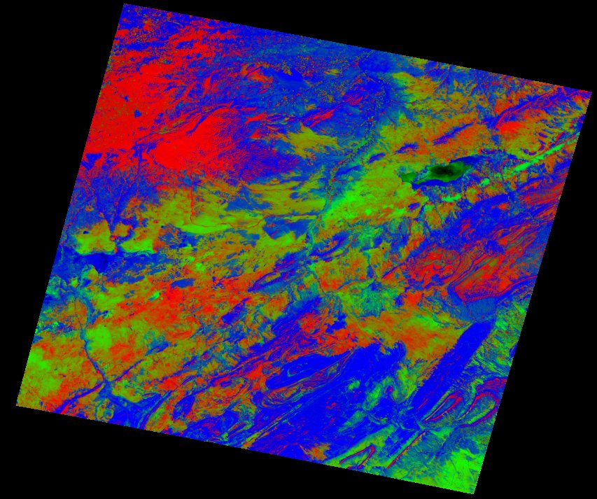
| thumbnail | fc_ls_196036_2022-02-21_thumbnail.jpg |
| ue | fc_ls_196036_2022-02-21_ue.tif |