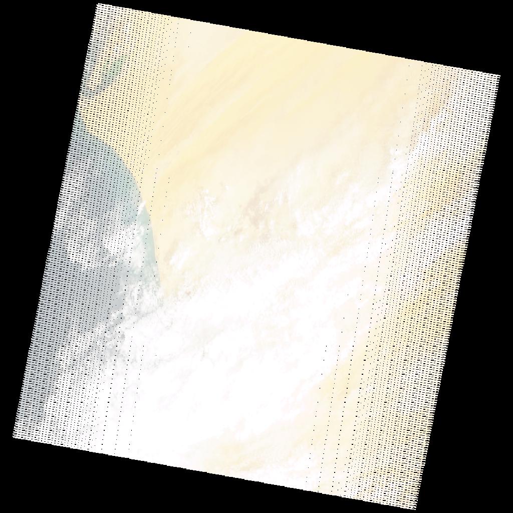
LE07_L2SP_205047_20080909_20200912_02_T2_SR_stac
dataset of product ls7_sr
Indexed by odc_writer
,
created
Region
205047
for
9th September 2008
Fields 🔗
cloud_cover
46.0
collection_category
T2
creation_time
2008-09-09 11:15:14
crs_raw
•
data_coverage
•
dataset_version
•
eo_gsd
•
eo_sun_azimuth
114.807
eo_sun_elevation
60.87
format
GeoTIFF
id
b6601c5c-2efe-5bc1-9de3-27f3af531456
instrument
ETM
label
•
lat
17.852 to 19.725
lon
-16.791 to -14.635
platform
LANDSAT_7
product_family
•
region
•
region_code
205047
rmse
12.397
rmse_x
11.393
rmse_y
4.887
sat_orbit_state
•
sat_relative_orbit
•
time
2008-09-09 11:15:14 to 2008-09-09 11:15:14
Related Datasets 🔗
LE07_L2SP_205047_20080909_20200912_02_T2_SR_stac