Fields 🔗
cloud_cover
0.0
collection_category
T1
creation_time
2022-02-15 00:41:08
crs_raw
•
data_coverage
•
dataset_version
1.1.0
eo_gsd
30.0
eo_sun_azimuth
154.461
eo_sun_elevation
34.684
format
GeoTIFF
id
b52d090e-d851-51f6-b288-b47edcbb8baf
instrument
OLI_TIRS
label
•
lat
26.377 to 28.472
lon
22.336 to 24.611
platform
landsat-9
product_family
fc
region
•
region_code
181041
rmse
6.518
rmse_x
3.856
rmse_y
5.255
sat_orbit_state
•
sat_relative_orbit
•
time
2021-12-26 08:55:51 to 2021-12-26 08:55:51
Related Datasets 🔗
Location 🔗
s3://deafrica-services/fc_ls/1-1-0/181/041/2021/12/26/fc_ls_181041_2021-12-26.stac-item.json
| bs | fc_ls_181041_2021-12-26_bs.tif |
|---|---|
| checksum:sha1 | fc_ls_181041_2021-12-26.sha1 |
| metadata:processor | fc_ls_181041_2021-12-26.proc-info.yaml |
| npv | fc_ls_181041_2021-12-26_npv.tif |
| pv | fc_ls_181041_2021-12-26_pv.tif |
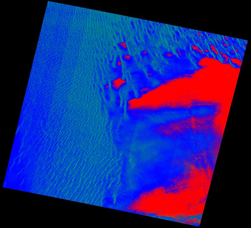
| thumbnail | fc_ls_181041_2021-12-26_thumbnail.jpg |
| ue | fc_ls_181041_2021-12-26_ue.tif |