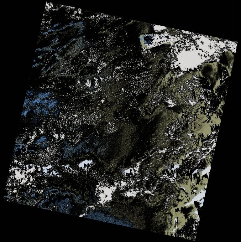
wofs_ls_161067_2022-01-31.stac-item
dataset of product wofs_ls
Indexed by odc_writer
,
created
Region
161067
for
31st January 2022
Fields 🔗
cloud_cover
12.45
collection_category
T1
creation_time
2023-04-29 22:11:01
crs_raw
•
data_coverage
•
dataset_version
1.0.0
eo_gsd
30.0
eo_sun_azimuth
106.782
eo_sun_elevation
58.448
format
GeoTIFF
id
b3d5efc2-3d55-574f-8f3e-99b99a3711d4
instrument
OLI_TIRS
label
•
lat
-11.169 to -9.082
lon
45.009 to 47.056
platform
landsat-9
product_family
wofs
region
•
region_code
161067
rmse
7.394
rmse_x
6.246
rmse_y
3.958
sat_orbit_state
•
sat_relative_orbit
•
time
2022-01-31 07:02:35 to 2022-01-31 07:02:35
Related Datasets 🔗
wofs_ls_161067_2022-01-31.stac-item