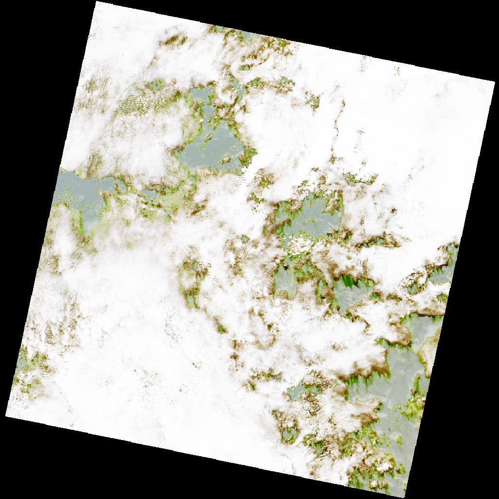
LC09_L2SP_190057_20211120_20230506_02_T2_SR_stac
dataset of product ls9_sr
Indexed by odc_writer
,
created
Region
190057
for
20th November 2021
Fields 🔗
cloud_cover
40.21
collection_category
T2
creation_time
2021-11-20 09:58:26
crs_raw
•
data_coverage
•
dataset_version
•
eo_gsd
•
eo_sun_azimuth
138.012
eo_sun_elevation
57.156
format
GeoTIFF
id
af5943fe-ff29-59b0-8cbd-3513e78af88b
instrument
OLI_TIRS
label
•
lat
3.29 to 5.379
lon
3.126 to 5.114
platform
LANDSAT_9
product_family
•
region
•
region_code
190057
rmse
nan
rmse_x
nan
rmse_y
nan
sat_orbit_state
•
sat_relative_orbit
•
time
2021-11-20 09:58:26 to 2021-11-20 09:58:26
Related Datasets 🔗
LC09_L2SP_190057_20211120_20230506_02_T2_SR_stac