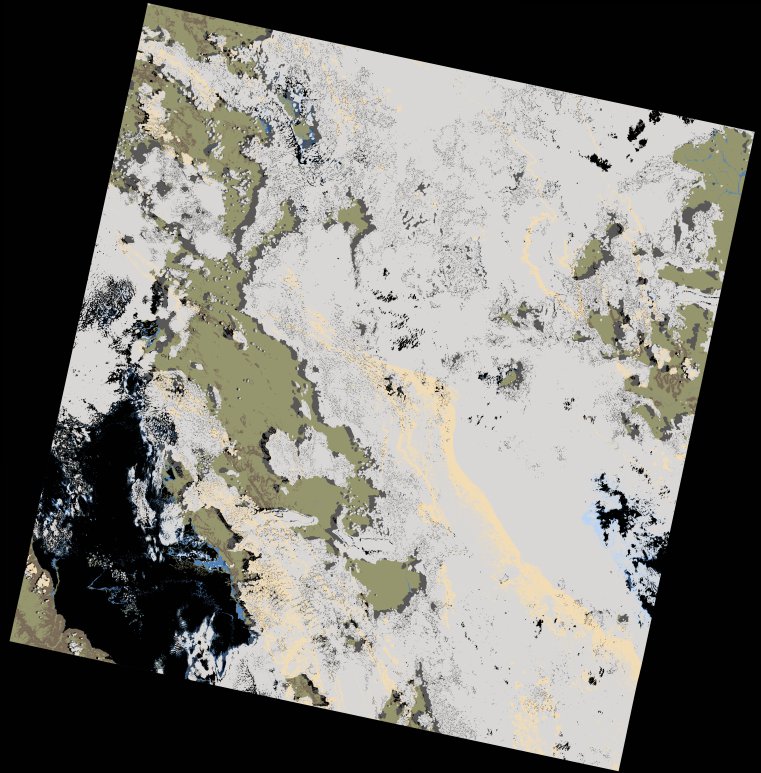
wofs_ls_171065_2023-02-09.stac-item
dataset of product wofs_ls
Indexed by odc_writer
,
created
Region
171065
for
9th February 2023
Fields 🔗
cloud_cover
67.2
collection_category
T1
creation_time
2023-03-10 22:40:39
crs_raw
•
data_coverage
•
dataset_version
1.0.0
eo_gsd
30.0
eo_sun_azimuth
106.385
eo_sun_elevation
58.305
format
GeoTIFF
id
aa51790b-38e6-57f0-92b9-f9b65af23c03
instrument
OLI_TIRS
label
•
lat
-8.278 to -6.191
lon
30.154 to 32.179
platform
landsat-9
product_family
wofs
region
•
region_code
171065
rmse
9.156
rmse_x
6.594
rmse_y
6.352
sat_orbit_state
•
sat_relative_orbit
•
time
2023-02-09 08:03:49 to 2023-02-09 08:03:49
Related Datasets 🔗
wofs_ls_171065_2023-02-09.stac-item