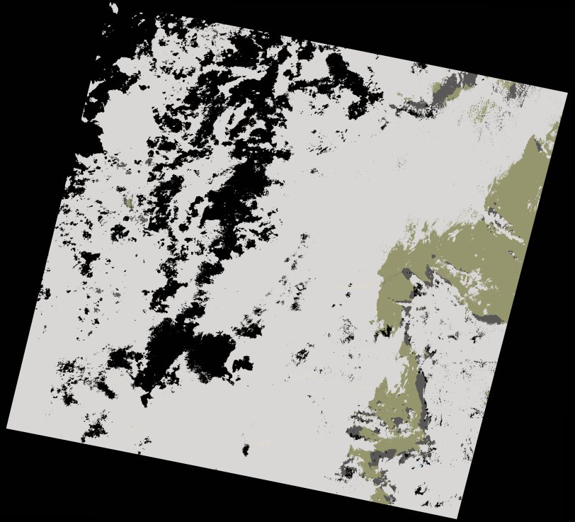
wofs_ls_201041_2022-09-20.stac-item
dataset of product wofs_ls
Indexed by odc_writer
,
created
Region
201041
for
20th September 2022
Fields 🔗
cloud_cover
80.57
collection_category
T1
creation_time
2023-03-28 15:43:18
crs_raw
•
data_coverage
•
dataset_version
1.0.0
eo_gsd
30.0
eo_sun_azimuth
139.263
eo_sun_elevation
56.821
format
GeoTIFF
id
a8eba9c3-1af0-5a4b-b8ab-fcb6f90bdcf1
instrument
OLI_TIRS
label
•
lat
26.377 to 28.472
lon
-8.568 to -6.292
platform
landsat-9
product_family
wofs
region
•
region_code
201041
rmse
7.708
rmse_x
5.687
rmse_y
5.202
sat_orbit_state
•
sat_relative_orbit
•
time
2022-09-20 10:59:29 to 2022-09-20 10:59:29
Related Datasets 🔗
wofs_ls_201041_2022-09-20.stac-item