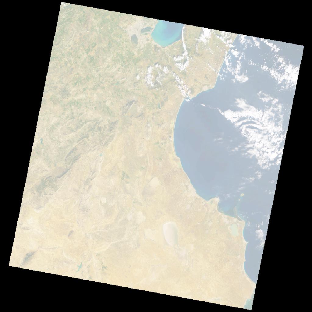
LE07_L2SP_191035_20000206_20211213_02_T2_SR_stac
dataset of product ls7_sr
Indexed by odc_writer
,
created
Region
191035
for
6th February 2000
Fields 🔗
cloud_cover
5.0
collection_category
T2
creation_time
2000-02-06 09:47:43
crs_raw
•
data_coverage
•
dataset_version
•
eo_gsd
•
eo_sun_azimuth
149.645
eo_sun_elevation
32.54
format
GeoTIFF
id
a7a1ad05-aa1b-5341-b1b4-6d15fe09482d
instrument
ETM
label
•
lat
35.119 to 37.025
lon
9.092 to 11.583
platform
LANDSAT_7
product_family
•
region
•
region_code
191035
rmse
nan
rmse_x
nan
rmse_y
nan
sat_orbit_state
•
sat_relative_orbit
•
time
2000-02-06 09:47:43 to 2000-02-06 09:47:43
Related Datasets 🔗
LE07_L2SP_191035_20000206_20211213_02_T2_SR_stac