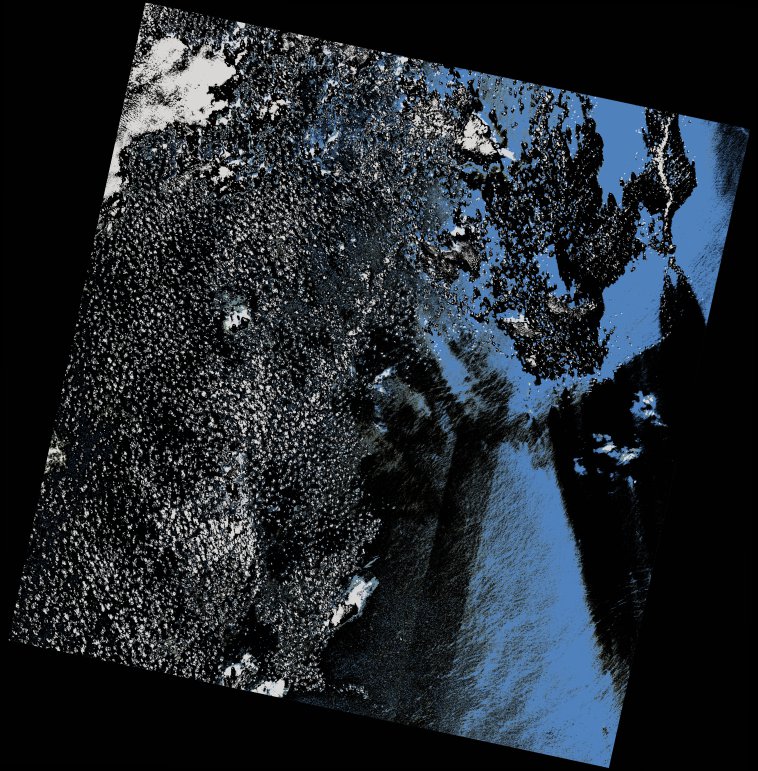
wofs_ls_206052_2021-11-15.stac-item
dataset of product wofs_ls
Indexed by odc_writer
,
created
Region
206052
for
15th November 2021
Fields 🔗
cloud_cover
14.62
collection_category
T2
creation_time
2023-05-06 09:38:16
crs_raw
•
data_coverage
•
dataset_version
1.0.0
eo_gsd
30.0
eo_sun_azimuth
144.767
eo_sun_elevation
53.184
format
GeoTIFF
id
9b32e050-67f8-50f1-a79b-cc5e48ffda0b
instrument
OLI_TIRS
label
•
lat
10.517 to 12.608
lon
-19.414 to -17.388
platform
landsat-9
product_family
wofs
region
•
region_code
206052
rmse
nan
rmse_x
nan
rmse_y
nan
sat_orbit_state
•
sat_relative_orbit
•
time
2021-11-15 11:32:39 to 2021-11-15 11:32:39
Related Datasets 🔗
wofs_ls_206052_2021-11-15.stac-item