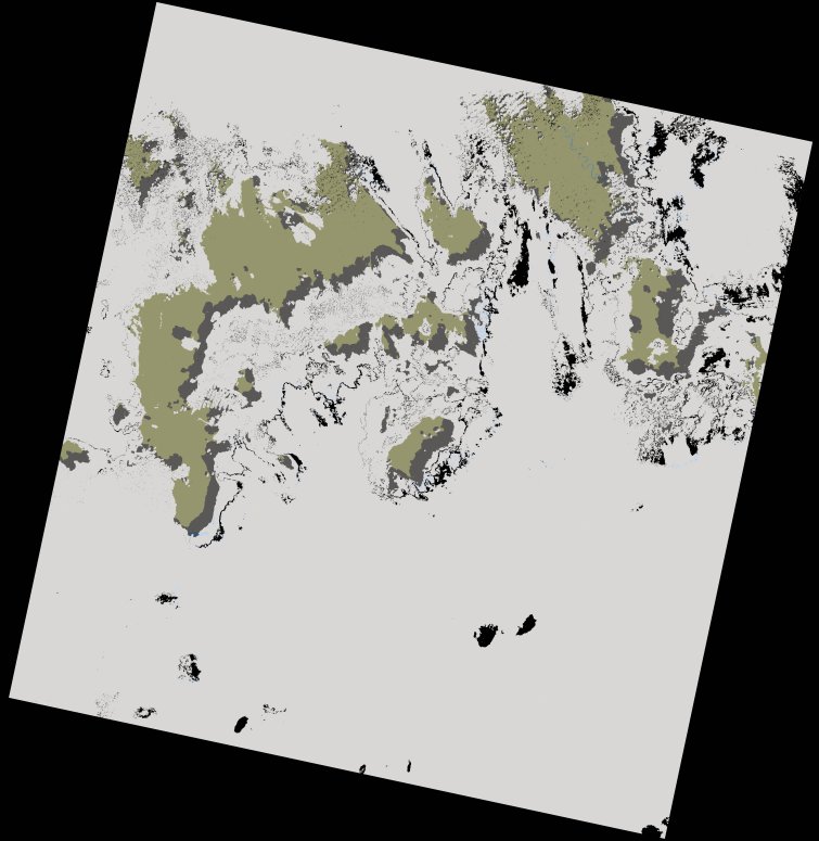
wofs_ls_179060_2021-12-12.stac-item
dataset of product wofs_ls
Indexed by odc_writer
,
created
Archived
Fields 🔗
cloud_cover
96.0
collection_category
T1
creation_time
2022-01-07 11:56:53
crs_raw
•
data_coverage
•
dataset_version
1.0.0
eo_gsd
30.0
eo_sun_azimuth
122.014
eo_sun_elevation
42.276
format
GeoTIFF
id
90a0cb54-ae23-52c9-9d80-958c41c0d42f
instrument
ETM
label
•
lat
-0.927 to 0.937
lon
19.374 to 21.449
platform
landsat-7
product_family
wofs
region
•
region_code
179060
rmse
3.823
rmse_x
2.805
rmse_y
2.598
sat_orbit_state
•
sat_relative_orbit
•
time
2021-12-12 07:40:04 to 2021-12-12 07:40:04