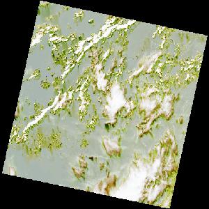
LC09_L2SP_192057_20230127_20230129_02_T2_SR_stac
dataset of product ls9_sr
Indexed by odc_writer
,
created
Region
192057
for
27th January 2023
Fields 🔗
cloud_cover
43.27
collection_category
T2
creation_time
2023-01-27 10:10:19
crs_raw
•
data_coverage
•
dataset_version
•
eo_gsd
•
eo_sun_azimuth
129.142
eo_sun_elevation
53.157
format
GeoTIFF
id
8fc586d0-f2da-5383-bc4e-212f50a03a32
instrument
OLI_TIRS
label
•
lat
3.291 to 5.379
lon
0.215 to 2.227
platform
LANDSAT_9
product_family
•
region
•
region_code
192057
rmse
nan
rmse_x
nan
rmse_y
nan
sat_orbit_state
•
sat_relative_orbit
•
time
2023-01-27 10:10:19 to 2023-01-27 10:10:19
Related Datasets 🔗
LC09_L2SP_192057_20230127_20230129_02_T2_SR_stac