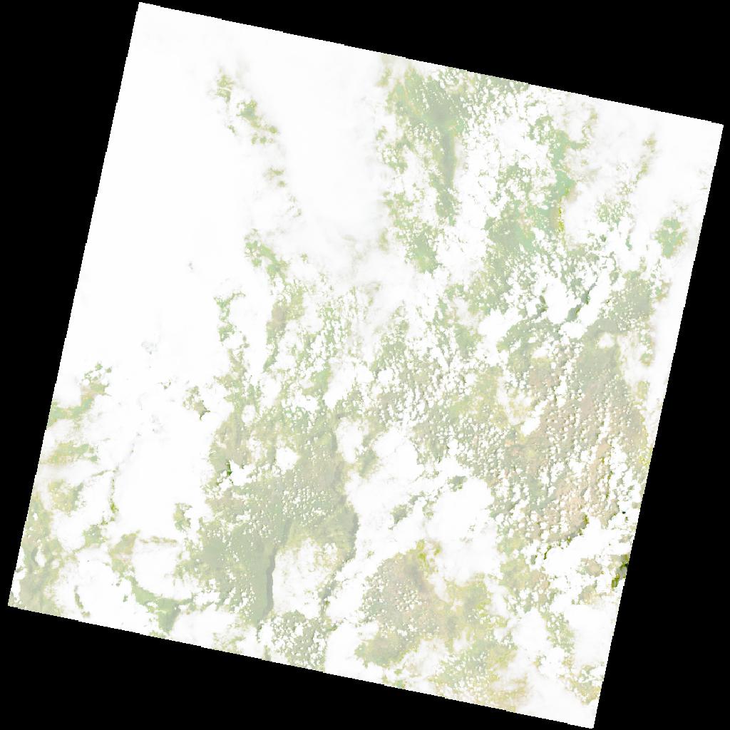
LC09_L2SP_173070_20211218_20230504_02_T1_SR_stac
dataset of product ls9_sr
Indexed by odc_writer
,
created
Region
173070
for
18th December 2021
Fields 🔗
cloud_cover
80.4
collection_category
T1
creation_time
2021-12-18 08:17:57
crs_raw
•
data_coverage
•
dataset_version
•
eo_gsd
•
eo_sun_azimuth
112.869
eo_sun_elevation
62.011
format
GeoTIFF
id
8f7fe69f-d595-5ce1-a623-71ee84fe02c8
instrument
OLI_TIRS
label
•
lat
-15.504 to -13.416
lon
25.513 to 27.593
platform
LANDSAT_9
product_family
•
region
•
region_code
173070
rmse
9.111
rmse_x
6.512
rmse_y
6.372
sat_orbit_state
•
sat_relative_orbit
•
time
2021-12-18 08:17:57 to 2021-12-18 08:17:57
Related Datasets 🔗
LC09_L2SP_173070_20211218_20230504_02_T1_SR_stac