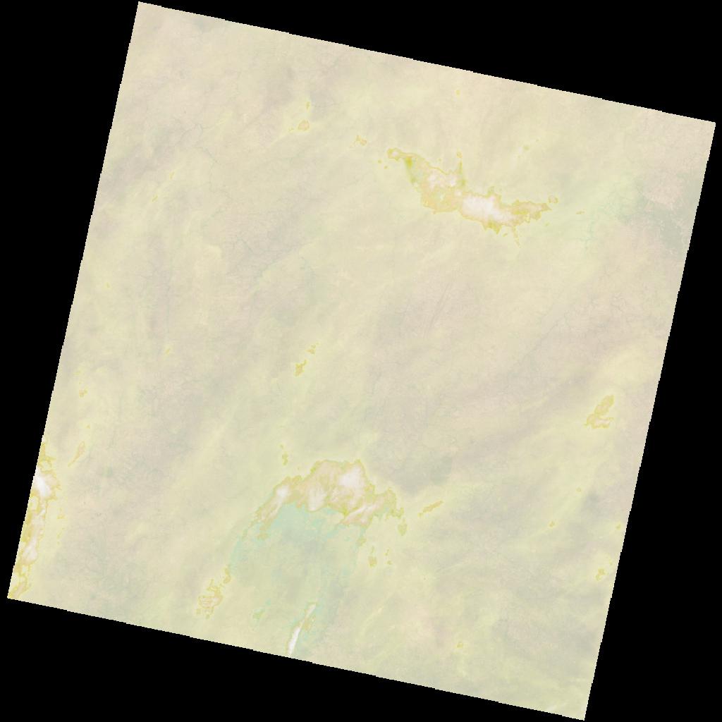
LC09_L2SP_192053_20211207_20230505_02_T1_SR_stac
dataset of product ls9_sr
Indexed by odc_writer
,
created
Region
192053
for
7th December 2021
Fields 🔗
cloud_cover
40.22
collection_category
T1
creation_time
2021-12-07 10:08:42
crs_raw
•
data_coverage
•
dataset_version
•
eo_gsd
•
eo_sun_azimuth
145.407
eo_sun_elevation
50.089
format
GeoTIFF
id
8eb29be7-79e4-5d04-aaa3-aae719353e86
instrument
OLI_TIRS
label
•
lat
9.073 to 11.162
lon
1.437 to 3.474
platform
LANDSAT_9
product_family
•
region
•
region_code
192053
rmse
7.367
rmse_x
5.371
rmse_y
5.043
sat_orbit_state
•
sat_relative_orbit
•
time
2021-12-07 10:08:42 to 2021-12-07 10:08:42
Related Datasets 🔗
LC09_L2SP_192053_20211207_20230505_02_T1_SR_stac