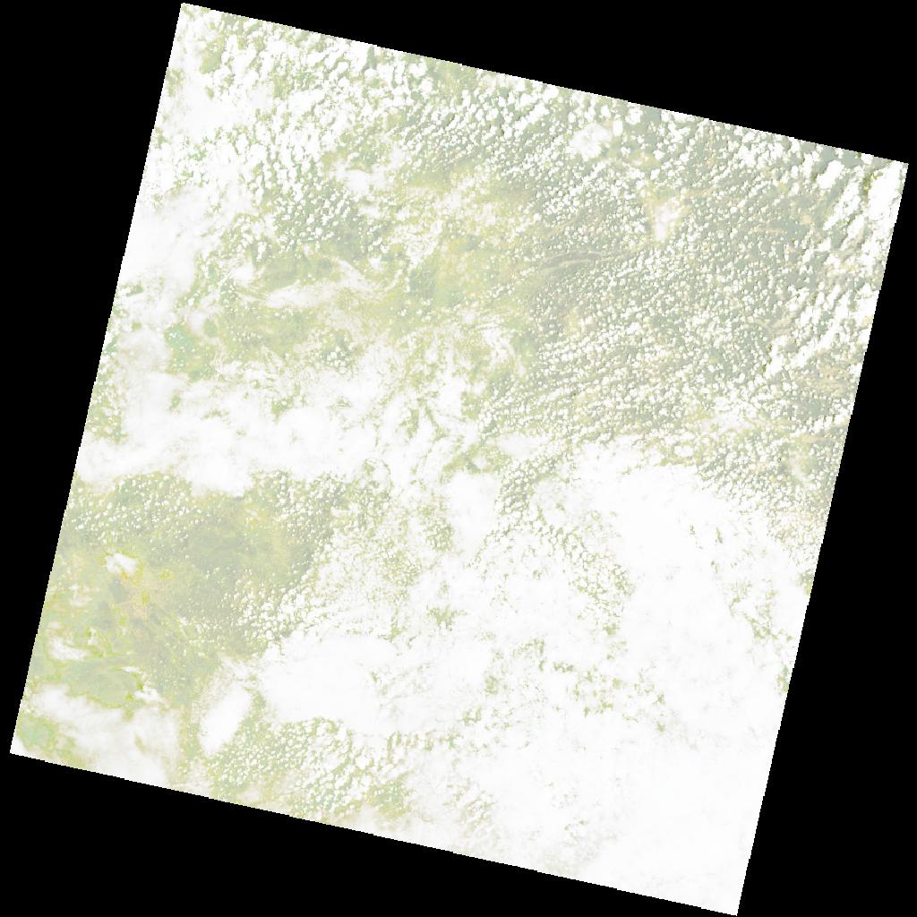
LC09_L2SP_179070_20221215_20221223_02_T1_SR_stac
dataset of product ls9_sr
Indexed by odc_writer
,
created
Region
179070
for
15th December 2022
Fields 🔗
cloud_cover
75.18
collection_category
T1
creation_time
2022-12-15 08:55:12
crs_raw
•
data_coverage
•
dataset_version
•
eo_gsd
•
eo_sun_azimuth
112.812
eo_sun_elevation
62.425
format
GeoTIFF
id
892e3d9e-f4b3-5d7a-989a-76b270dc7a04
instrument
OLI_TIRS
label
•
lat
-15.503 to -13.416
lon
16.236 to 18.316
platform
LANDSAT_9
product_family
•
region
•
region_code
179070
rmse
8.02
rmse_x
5.844
rmse_y
5.493
sat_orbit_state
•
sat_relative_orbit
•
time
2022-12-15 08:55:12 to 2022-12-15 08:55:12
Related Datasets 🔗
LC09_L2SP_179070_20221215_20221223_02_T1_SR_stac