Fields 🔗
cloud_cover
41.46
collection_category
T1
creation_time
2022-02-14 23:55:14
crs_raw
•
data_coverage
•
dataset_version
1.1.0
eo_gsd
30.0
eo_sun_azimuth
79.352
eo_sun_elevation
59.877
format
GeoTIFF
id
863d36d9-5049-5fc0-b093-dcff2193ea46
instrument
OLI_TIRS
label
•
lat
-34.228 to -32.129
lon
22.305 to 24.753
platform
landsat-9
product_family
fc
region
•
region_code
172083
rmse
8.713
rmse_x
5.539
rmse_y
6.726
sat_orbit_state
•
sat_relative_orbit
•
time
2021-12-27 08:16:58 to 2021-12-27 08:16:58
Related Datasets 🔗
Location 🔗
s3://deafrica-services/fc_ls/1-1-0/172/083/2021/12/27/fc_ls_172083_2021-12-27.stac-item.json
| bs | fc_ls_172083_2021-12-27_bs.tif |
|---|---|
| checksum:sha1 | fc_ls_172083_2021-12-27.sha1 |
| metadata:processor | fc_ls_172083_2021-12-27.proc-info.yaml |
| npv | fc_ls_172083_2021-12-27_npv.tif |
| pv | fc_ls_172083_2021-12-27_pv.tif |
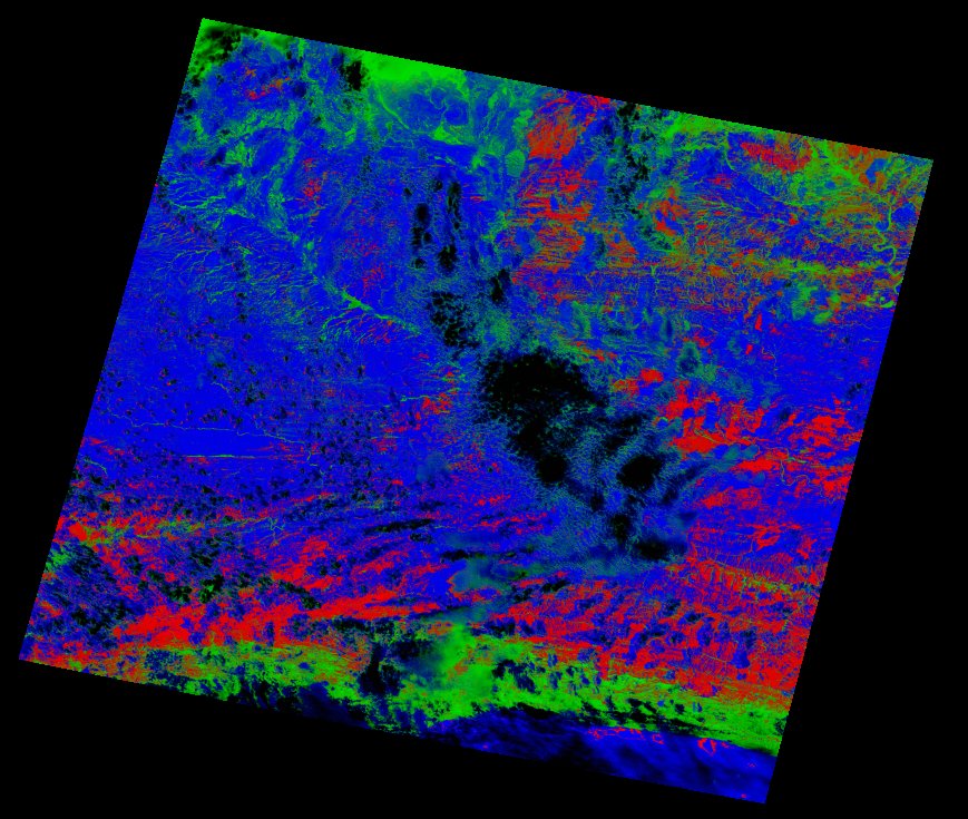
| thumbnail | fc_ls_172083_2021-12-27_thumbnail.jpg |
| ue | fc_ls_172083_2021-12-27_ue.tif |