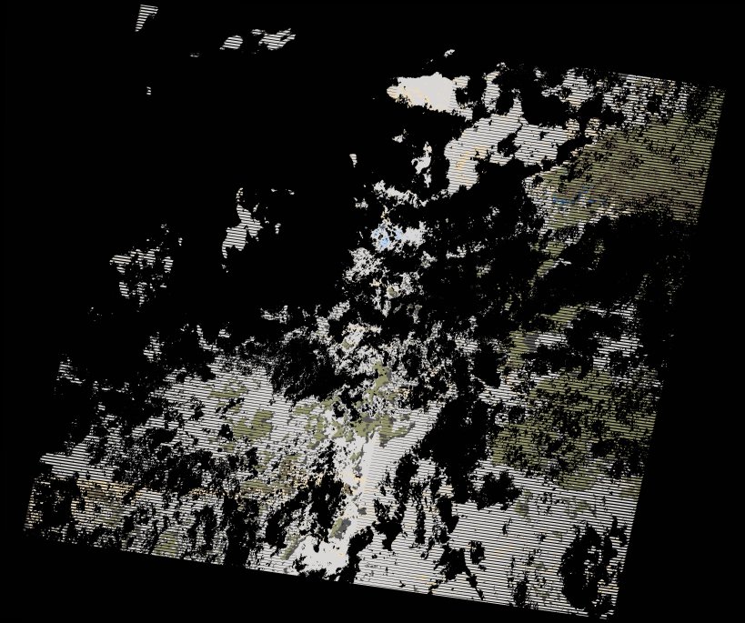
wofs_ls_169071_2022-12-31.stac-item
dataset of product wofs_ls
Indexed by odc_writer
,
created
Region
169071
for
31st December 2022
Fields 🔗
cloud_cover
81.0
collection_category
T2
creation_time
2023-01-26 12:17:52
crs_raw
•
data_coverage
•
dataset_version
1.0.0
eo_gsd
30.0
eo_sun_azimuth
107.268
eo_sun_elevation
36.11
format
GeoTIFF
id
8179483c-3fa5-54cc-839a-b717076ae558
instrument
ETM
label
•
lat
-16.844 to -14.974
lon
30.835 to 32.983
platform
landsat-7
product_family
wofs
region
•
region_code
169071
rmse
nan
rmse_x
nan
rmse_y
nan
sat_orbit_state
•
sat_relative_orbit
•
time
2022-12-31 06:07:12 to 2022-12-31 06:07:12
Related Datasets 🔗
wofs_ls_169071_2022-12-31.stac-item