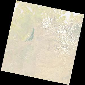
LC09_L2SP_173071_20231106_20231107_02_T1_SR_stac
dataset of product ls9_sr
Indexed by odc_writer
,
created
Region
173071
for
6th November 2023
Fields 🔗
cloud_cover
25.13
collection_category
T1
creation_time
2023-11-06 08:18:14
crs_raw
•
data_coverage
•
dataset_version
•
eo_gsd
•
eo_sun_azimuth
93.574
eo_sun_elevation
65.871
format
GeoTIFF
id
7b9229bd-938f-5595-95ed-ff7da0283ff0
instrument
OLI_TIRS
label
•
lat
-16.948 to -14.86
lon
25.183 to 27.281
platform
LANDSAT_9
product_family
•
region
•
region_code
173071
rmse
7.747
rmse_x
5.496
rmse_y
5.46
sat_orbit_state
•
sat_relative_orbit
•
time
2023-11-06 08:18:14 to 2023-11-06 08:18:14