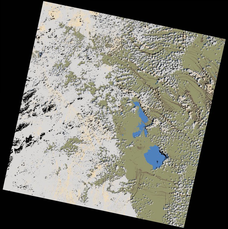
wofs_ls_167052_2024-01-31.stac-item
dataset of product wofs_ls
Indexed by odc_writer
,
created
Region
167052
for
31st January 2024
Fields 🔗
cloud_cover
49.57
collection_category
T1
creation_time
2024-02-23 05:38:24
crs_raw
•
data_coverage
•
dataset_version
1.0.0
eo_gsd
30.0
eo_sun_azimuth
135.463
eo_sun_elevation
49.533
format
GeoTIFF
id
762158a9-d816-53dd-b070-ecb50ab9fbef
instrument
OLI_TIRS
label
•
lat
10.518 to 12.606
lon
40.371 to 42.42
platform
landsat-9
product_family
wofs
region
•
region_code
167052
rmse
6.769
rmse_x
4.748
rmse_y
4.825
sat_orbit_state
•
sat_relative_orbit
•
time
2024-01-31 07:33:42 to 2024-01-31 07:33:42
Related Datasets 🔗
wofs_ls_167052_2024-01-31.stac-item