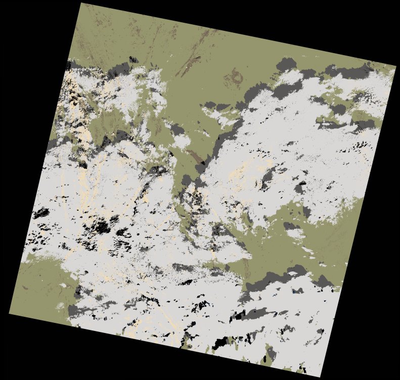
wofs_ls_190044_2021-11-20.stac-item
dataset of product wofs_ls
Indexed by odc_writer
,
created
Archived
Fields 🔗
cloud_cover
44.92
collection_category
T1
creation_time
2022-02-14 23:33:56
crs_raw
•
data_coverage
•
dataset_version
1.0.0
eo_gsd
30.0
eo_sun_azimuth
154.19
eo_sun_elevation
42.962
format
GeoTIFF
id
7545e1e2-a7ed-5994-b4db-f95051485c85
instrument
OLI_TIRS
label
•
lat
22.06 to 24.153
lon
7.222 to 9.386
platform
landsat-9
product_family
wofs
region
•
region_code
190044
rmse
6.241
rmse_x
4.769
rmse_y
4.026
sat_orbit_state
•
sat_relative_orbit
•
time
2021-11-20 09:53:16 to 2021-11-20 09:53:16