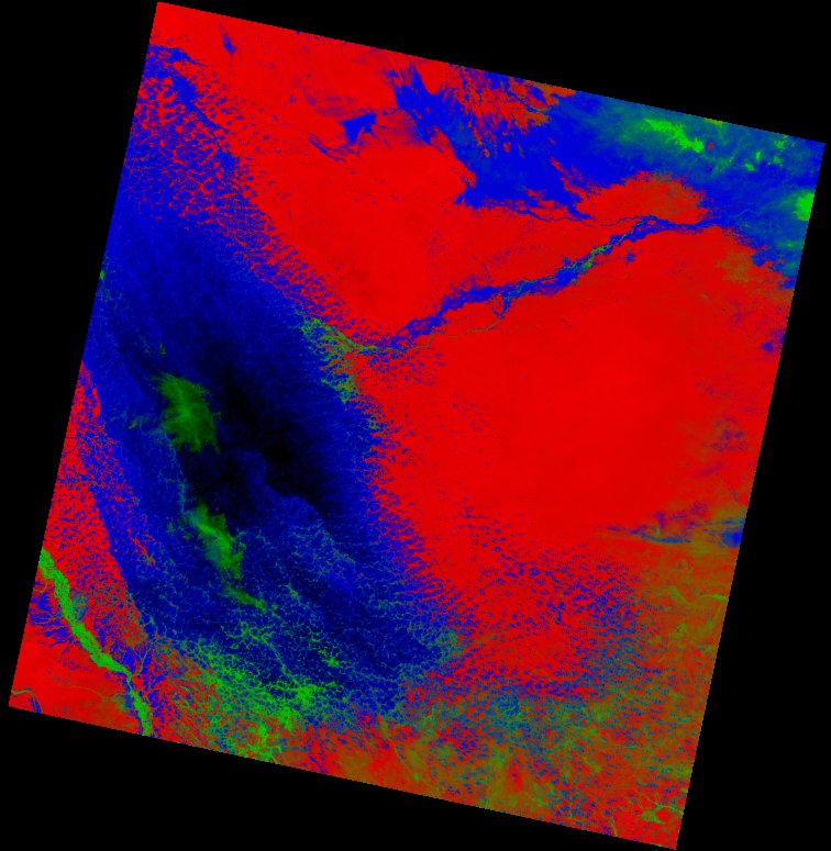
Fields 🔗
cloud_cover
32.12
collection_category
T1
creation_time
2022-02-25 21:08:36
crs_raw
•
data_coverage
•
dataset_version
1.1.0
eo_gsd
30.0
eo_sun_azimuth
111.509
eo_sun_elevation
57.844
format
GeoTIFF
id
745ec9f4-6eca-58f3-9366-e560f6d56673
instrument
OLI_TIRS
label
•
lat
-1.048 to 1.039
lon
39.481 to 41.489
platform
landsat-9
product_family
fc
region
•
region_code
166060
rmse
3.835
rmse_x
2.879
rmse_y
2.534
sat_orbit_state
•
sat_relative_orbit
•
time
2022-02-19 07:30:34 to 2022-02-19 07:30:34
Related Datasets 🔗
Location 🔗
s3://deafrica-services/fc_ls/1-1-0/166/060/2022/02/19/fc_ls_166060_2022-02-19.stac-item.json
| bs | fc_ls_166060_2022-02-19_bs.tif |
|---|---|
| checksum:sha1 | fc_ls_166060_2022-02-19.sha1 |
| metadata:processor | fc_ls_166060_2022-02-19.proc-info.yaml |
| npv | fc_ls_166060_2022-02-19_npv.tif |
| pv | fc_ls_166060_2022-02-19_pv.tif |
| thumbnail | fc_ls_166060_2022-02-19_thumbnail.jpg |
| ue | fc_ls_166060_2022-02-19_ue.tif |