Fields 🔗
cloud_cover
5.11
collection_category
T1
creation_time
2022-09-13 11:16:55
crs_raw
•
data_coverage
•
dataset_version
1.1.0
eo_gsd
30.0
eo_sun_azimuth
128.924
eo_sun_elevation
60.863
format
GeoTIFF
id
71dfb6c5-eac3-5455-ba68-c67f05a289ec
instrument
OLI_TIRS
label
•
lat
23.5 to 25.594
lon
0.031 to 2.248
platform
landsat-9
product_family
fc
region
•
region_code
195043
rmse
6.207
rmse_x
4.011
rmse_y
4.737
sat_orbit_state
•
sat_relative_orbit
•
time
2022-09-10 10:23:07 to 2022-09-10 10:23:07
Related Datasets 🔗
Location 🔗
s3://deafrica-services/fc_ls/1-1-0/195/043/2022/09/10/fc_ls_195043_2022-09-10.stac-item.json
| bs | fc_ls_195043_2022-09-10_bs.tif |
|---|---|
| checksum:sha1 | fc_ls_195043_2022-09-10.sha1 |
| metadata:processor | fc_ls_195043_2022-09-10.proc-info.yaml |
| npv | fc_ls_195043_2022-09-10_npv.tif |
| pv | fc_ls_195043_2022-09-10_pv.tif |
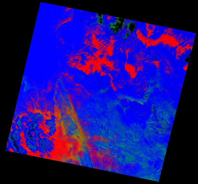
| thumbnail | fc_ls_195043_2022-09-10_thumbnail.jpg |
| ue | fc_ls_195043_2022-09-10_ue.tif |