Fields 🔗
cloud_cover
9.0
collection_category
T1
creation_time
2022-01-21 02:18:28
crs_raw
•
data_coverage
•
dataset_version
1.1.0
eo_gsd
30.0
eo_sun_azimuth
147.773
eo_sun_elevation
29.401
format
GeoTIFF
id
709ab355-2ac1-5f29-b1a0-ab905ef76711
instrument
TM
label
•
lat
30.787 to 32.686
lon
3.373 to 5.736
platform
landsat-5
product_family
fc
region
•
region_code
194038
rmse
10.2
rmse_x
7.235
rmse_y
7.19
sat_orbit_state
•
sat_relative_orbit
•
time
1998-01-12 09:50:07 to 1998-01-12 09:50:07
Related Datasets 🔗
Location 🔗
s3://deafrica-services/fc_ls/1-1-0/194/038/1998/01/12/fc_ls_194038_1998-01-12.stac-item.json
| bs | fc_ls_194038_1998-01-12_bs.tif |
|---|---|
| checksum:sha1 | fc_ls_194038_1998-01-12.sha1 |
| metadata:processor | fc_ls_194038_1998-01-12.proc-info.yaml |
| npv | fc_ls_194038_1998-01-12_npv.tif |
| pv | fc_ls_194038_1998-01-12_pv.tif |
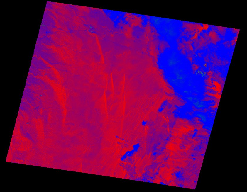
| thumbnail | fc_ls_194038_1998-01-12_thumbnail.jpg |
| ue | fc_ls_194038_1998-01-12_ue.tif |