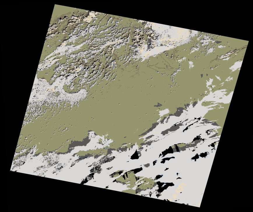
wofs_ls_197036_2022-02-12.stac-item
dataset of product wofs_ls
Indexed by odc_writer
,
created
Archived
Fields 🔗
cloud_cover
33.38
collection_category
T1
creation_time
2022-02-14 23:26:15
crs_raw
•
data_coverage
•
dataset_version
1.0.0
eo_gsd
30.0
eo_sun_azimuth
149.677
eo_sun_elevation
36.344
format
GeoTIFF
id
6eb5d10c-ec6d-55de-be83-07f7f178050a
instrument
OLI_TIRS
label
•
lat
33.553 to 35.655
lon
-0.58 to 1.889
platform
landsat-9
product_family
wofs
region
•
region_code
197036
rmse
7.948
rmse_x
5.548
rmse_y
5.691
sat_orbit_state
•
sat_relative_orbit
•
time
2022-02-12 10:32:40 to 2022-02-12 10:32:40