Fields 🔗
cloud_cover
8.13
collection_category
T1
creation_time
2022-02-15 00:34:53
crs_raw
•
data_coverage
•
dataset_version
1.1.0
eo_gsd
30.0
eo_sun_azimuth
158.764
eo_sun_elevation
35.839
format
GeoTIFF
id
66e4f2bf-f88a-5754-a664-8f257807e2b8
instrument
OLI_TIRS
label
•
lat
30.685 to 32.785
lon
19.289 to 21.647
platform
landsat-9
product_family
fc
region
•
region_code
184038
rmse
5.774
rmse_x
3.967
rmse_y
4.195
sat_orbit_state
•
sat_relative_orbit
•
time
2021-11-19 09:10:56 to 2021-11-19 09:10:56
Related Datasets 🔗
Location 🔗
s3://deafrica-services/fc_ls/1-1-0/184/038/2021/11/19/fc_ls_184038_2021-11-19.stac-item.json
| bs | fc_ls_184038_2021-11-19_bs.tif |
|---|---|
| checksum:sha1 | fc_ls_184038_2021-11-19.sha1 |
| metadata:processor | fc_ls_184038_2021-11-19.proc-info.yaml |
| npv | fc_ls_184038_2021-11-19_npv.tif |
| pv | fc_ls_184038_2021-11-19_pv.tif |
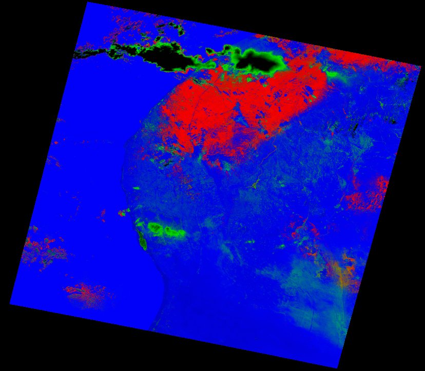
| thumbnail | fc_ls_184038_2021-11-19_thumbnail.jpg |
| ue | fc_ls_184038_2021-11-19_ue.tif |