Fields 🔗
cloud_cover
100.0
collection_category
T1
creation_time
2022-02-15 00:35:01
crs_raw
•
data_coverage
•
dataset_version
1.1.0
eo_gsd
30.0
eo_sun_azimuth
129.746
eo_sun_elevation
53.83
format
GeoTIFF
id
60c912a3-5031-5574-9e25-74e67279c41d
instrument
OLI_TIRS
label
•
lat
0.398 to 2.486
lon
11.981 to 13.989
platform
landsat-9
product_family
fc
region
•
region_code
184059
rmse
7.476
rmse_x
5.183
rmse_y
5.388
sat_orbit_state
•
sat_relative_orbit
•
time
2022-01-16 09:21:30 to 2022-01-16 09:21:30
Related Datasets 🔗
Location 🔗
s3://deafrica-services/fc_ls/1-1-0/184/059/2022/01/16/fc_ls_184059_2022-01-16.stac-item.json
| bs | fc_ls_184059_2022-01-16_bs.tif |
|---|---|
| checksum:sha1 | fc_ls_184059_2022-01-16.sha1 |
| metadata:processor | fc_ls_184059_2022-01-16.proc-info.yaml |
| npv | fc_ls_184059_2022-01-16_npv.tif |
| pv | fc_ls_184059_2022-01-16_pv.tif |
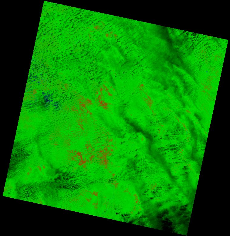
| thumbnail | fc_ls_184059_2022-01-16_thumbnail.jpg |
| ue | fc_ls_184059_2022-01-16_ue.tif |