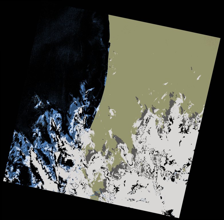
wofs_ls_205048_2021-12-26.stac-item
dataset of product wofs_ls
Indexed by odc_writer
,
created
Region
205048
for
26th December 2021
Fields 🔗
cloud_cover
25.48
collection_category
T1
creation_time
2021-12-30 11:42:19
crs_raw
•
data_coverage
•
dataset_version
1.0.0
eo_gsd
30.0
eo_sun_azimuth
148.838
eo_sun_elevation
42.832
format
GeoTIFF
id
5ece002c-e29b-5a67-b0b9-619c5fb411f0
instrument
OLI_TIRS
label
•
lat
16.296 to 18.387
lon
-17.056 to -14.956
platform
landsat-8
product_family
wofs
region
•
region_code
205048
rmse
7.465
rmse_x
4.592
rmse_y
5.886
sat_orbit_state
•
sat_relative_orbit
•
time
2021-12-26 11:26:57 to 2021-12-26 11:26:57
Related Datasets 🔗
wofs_ls_205048_2021-12-26.stac-item