Fields 🔗
cloud_cover
47.23
collection_category
T1
creation_time
2022-03-01 14:40:38
crs_raw
•
data_coverage
•
dataset_version
1.1.0
eo_gsd
30.0
eo_sun_azimuth
115.489
eo_sun_elevation
57.642
format
GeoTIFF
id
5c3b09c0-4dfe-59a6-9df2-534f5b67f297
instrument
OLI_TIRS
label
•
lat
4.737 to 6.824
lon
3.643 to 5.661
platform
landsat-9
product_family
fc
region
•
region_code
190056
rmse
6.688
rmse_x
5.239
rmse_y
4.158
sat_orbit_state
•
sat_relative_orbit
•
time
2022-02-27 09:57:12 to 2022-02-27 09:57:12
Related Datasets 🔗
Location 🔗
s3://deafrica-services/fc_ls/1-1-0/190/056/2022/02/27/fc_ls_190056_2022-02-27.stac-item.json
| bs | fc_ls_190056_2022-02-27_bs.tif |
|---|---|
| checksum:sha1 | fc_ls_190056_2022-02-27.sha1 |
| metadata:processor | fc_ls_190056_2022-02-27.proc-info.yaml |
| npv | fc_ls_190056_2022-02-27_npv.tif |
| pv | fc_ls_190056_2022-02-27_pv.tif |
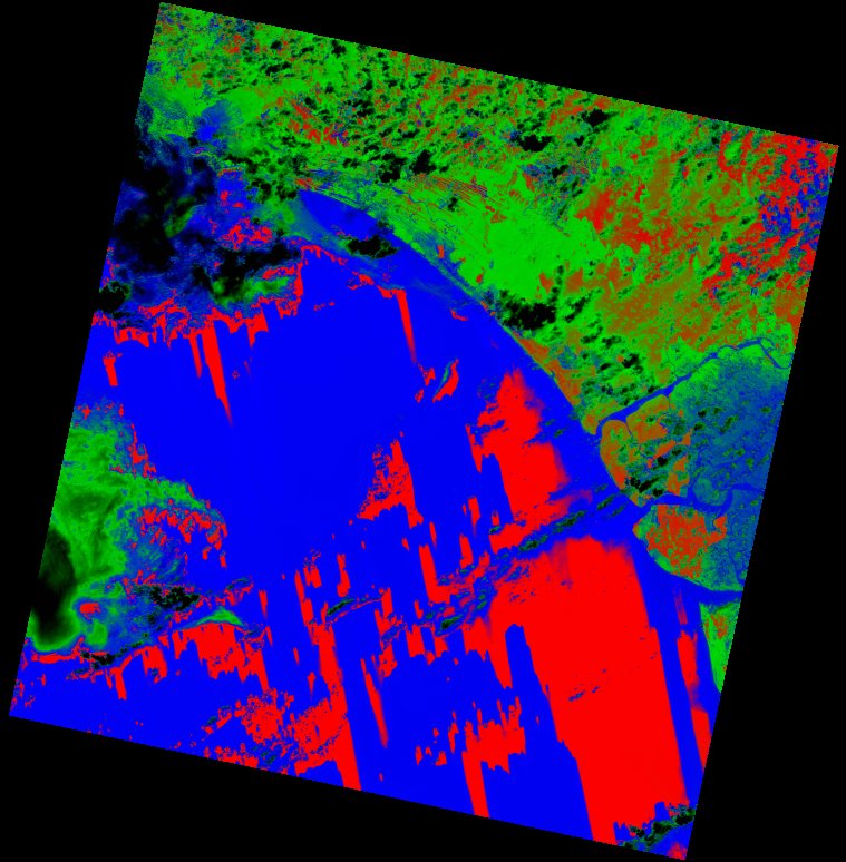
| thumbnail | fc_ls_190056_2022-02-27_thumbnail.jpg |
| ue | fc_ls_190056_2022-02-27_ue.tif |