Fields 🔗
cloud_cover
24.07
collection_category
T1
creation_time
2022-03-01 16:05:02
crs_raw
•
data_coverage
•
dataset_version
1.1.0
eo_gsd
30.0
eo_sun_azimuth
97.963
eo_sun_elevation
63.919
format
GeoTIFF
id
5b34290a-53b8-507c-84a1-1af44668c50a
instrument
OLI_TIRS
label
•
lat
-22.719 to -20.629
lon
22.249 to 24.427
platform
landsat-9
product_family
fc
region
•
region_code
174075
rmse
8.085
rmse_x
5.976
rmse_y
5.447
sat_orbit_state
•
sat_relative_orbit
•
time
2021-12-09 08:26:12 to 2021-12-09 08:26:12
Related Datasets 🔗
Location 🔗
s3://deafrica-services/fc_ls/1-1-0/174/075/2021/12/09/fc_ls_174075_2021-12-09.stac-item.json
| bs | fc_ls_174075_2021-12-09_bs.tif |
|---|---|
| checksum:sha1 | fc_ls_174075_2021-12-09.sha1 |
| metadata:processor | fc_ls_174075_2021-12-09.proc-info.yaml |
| npv | fc_ls_174075_2021-12-09_npv.tif |
| pv | fc_ls_174075_2021-12-09_pv.tif |
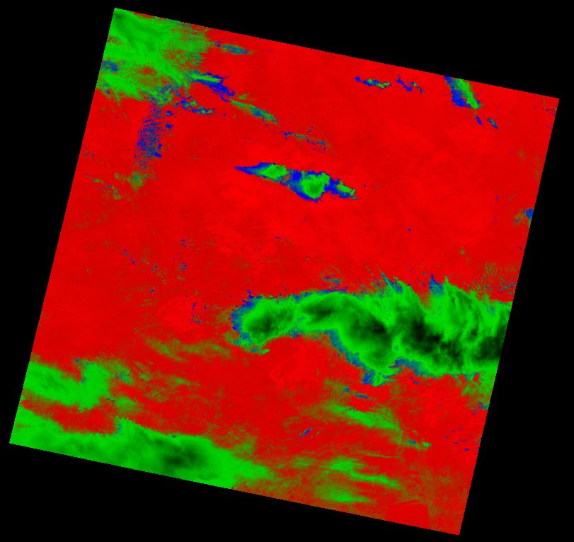
| thumbnail | fc_ls_174075_2021-12-09_thumbnail.jpg |
| ue | fc_ls_174075_2021-12-09_ue.tif |